El Platanal hydroelectric power station
| El Platanal hydroelectric power station | |||
|---|---|---|---|
| location | |||
|
|
|||
| Coordinates | 12 ° 49 ′ 51 ″ S , 75 ° 58 ′ 43 ″ W | ||
| country |
|
||
| place | Lima region | ||
| Waters | Río Cañete | ||
| Data | |||
| power | 240 MW | ||
| operator | Compania Electrica El Platanal (Celepsa) | ||
| Start of operations | 2010 | ||
| turbine | 2 Pelton turbines | ||
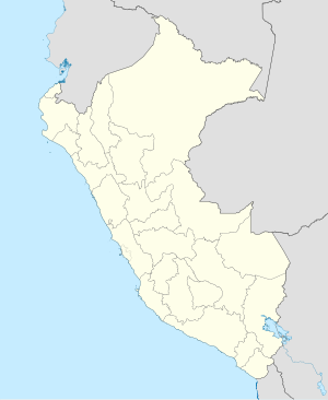
The El Platanal hydroelectric power station (Spanish: Central Hidroeléctrica El Platanal ) is located on the Río Cañete , in the central west of Peru , 145 km southeast of the state capital Lima . The power plant is located in the Zúñiga district in the Cañete province of the Lima administrative region . The plant is operated by Compania Electrica El Platanal (Celepsa), a subsidiary of Cementos Lima SA. The project cost was $ 320 million.
Hydroelectric power plant
The cavern power plant is located on the right slope of the Río Cañete at river kilometer 65. It was commissioned in 2010. The machine house is equipped with 2 Pelton turbines with an output of 120 MW each. It can be reached via a 690 m long access tunnel. The annual energy production in 2015 was 1172 GWh. The net drop height is 630 m, the expansion amount of water is 80 m / s.
Capillucas dam
The Capillucas dam ( ⊙ ) is located on the Río Cañete at river kilometer 92. The dam is 33 m high. The usable storage volume is 1.8 million m³. A 12.5 km long tunnel (diameter: 5 m) leads the water through the right side of the mountain to a moated castle ( ⊙ ). From here the water reaches the machine house via a pressure tunnel. Below the power plant, the water ( ⊙ ) is first fed into an equalization basin ( ⊙ ). From this it is then drained into the river. The substation ( ⊙ ) of the power plant is located on the right bank of the Río Cañete near the equalization basin .
More water storage
As part of the hydropower project , a 28 m high dam was built at Lake Laguna Paucarcocha ( ⊙ ), on the upper reaches of the Río Cañete. The dammed lake has a usable storage space of 70 million m³ and serves to supply the power plant with water during the period of low precipitation.
![]() Map with all coordinates: OSM | WikiMap
Map with all coordinates: OSM | WikiMap
Web links
- El Platanal Hydropower Plant, Río Cañete - Yauyos - Lima (PDF, 347 KB)
- Celepsa opens El Platanal HPP today at Renewable Now
