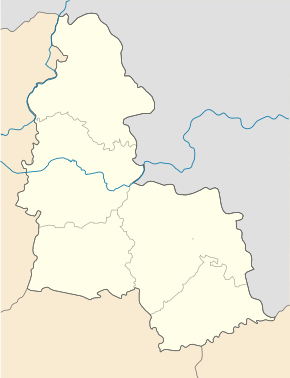
Velykyi Sambir
| Velykyi Sambir | ||
| Вели́кий Са́мбір | ||

|
|
|
| Basic data | ||
|---|---|---|
| Oblast : | Sumy Oblast | |
| Rajon : | Rajon Konotop | |
| Height : | 151 m | |
| Area : | Information is missing | |
| Residents : | 1,189 (2004) | |
| Postcodes : | 41664 | |
| Area code : | +380 5447 | |
| Geographic location : | 51 ° 3 ' N , 33 ° 8' E | |
| KOATUU : | 5922080801 | |
| Administrative structure : | 2 villages | |
| Address: | вул. Дептівська 41664 с. Великий Самбір |
|
| Statistical information | ||
|
|
||
Welykyj Sambir ( Ukrainian Вели́кий Са́мбір ; Russian Veliki Sambor Великий Самбор ) is a village in the west of the Ukrainian Sumy Oblast with about 1200 inhabitants (2004).
The village is the center of the district council of the same name in Konotop district , to which the village of Brody ( Броди ⊙ ), 1 km to the northwest, with about 20 inhabitants belongs.
geography
Velykyj Sambir is located on the bank of the Malyj Romen ( Малий Ромен ) just before its mouth in the Romen . The Konotop district center is 28 km north and the Sumy oblast center is 132 km east of the village. In the west the village borders on the Chernihiv Oblast and in the south on the village of Deptivka .
Individual evidence
- ↑ The village's website on the Verkhovna Rada website , accessed on July 27, 2015

