Willow Springs Lake
| Willow Springs Lake | ||
|---|---|---|

|
||
| Geographical location | Coconino County , Arizona , USA | |
| Drain | → Chevelon Creek → Little Colorado River | |
| Data | ||
| Coordinates | 34 ° 18 ′ 49 ″ N , 110 ° 52 ′ 31 ″ W | |
|
|
||
| Altitude above sea level | 2293 m | |
| surface | 60 ha | |
| length | 2 km | |
| width | 620 m | |
| Middle deep | 18 m | |
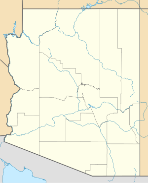
The Willow Springs Lake is a lake on the Mogollon Rim in the south of Coconino County in the US state of Arizona . It is located in the Apache-Sitgreaves National Forest , is about 2 km long and 620 m wide. The lake has an area of 0.6 km². The average depth is 18 m. The lake is at an altitude of 2293 m. ü. M.
description
The lake was created in 1966/67 by the Arizona Game and Fish Department as an artificial lake to promote recreational use, in particular fishing . For this purpose, a dam was built in the upper area of Willow Springs Canyon to catch melt water. The lake has no year-round inflow and no controlled discharge, rather the natural overflow of the dam is led through the canyon until it forms the Chevelon Creek together with Woods Canyon .
In the months of May to September the lake is intensively populated with adult rainbow trout every week . There is a boat ramp, several picnic areas, a disabled toilet and a small campsite by the lake. A much larger campsite is about 5 km away.
The lake is one of the intensively used local recreation areas in the Phoenix region .
Web links
- Willow Springs Lake in the United States Geological Survey's Geographic Names Information System
- Arizona Game and Fish Department: Willow Springs Lake
