Xiong'er Shan
| Xiong'er Shan | ||
|---|---|---|
| location | Shandong ( PR China ) | |
| an extension of the | Mengshan Mountains | |
|
|
||
| Coordinates | 35 ° 0 ' N , 117 ° 38' E | |
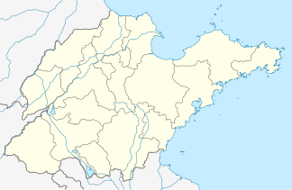
Xiong'er Shan (熊 耳 山) is a mountain range in Zaozhuang in the south of the Chinese province of Shandong .
It is located in Beizhuang Township of Shanting District and is accessible from Tengzhou .
The mountain range is an extension of the Mengshan Mountains (蒙山) with layers of earth from the early and middle Cambrian , "consisting mainly of carbonate rocks of the marine facies and partly of sand slate stones and sandstones".
The site of the ditch created by the 1668 earthquake ( Zaozhuang Xiong'er Shan bengta kailie dizhen yizhi ) has been on the list of Chinese earthquake natural monuments since 2006 .
The mountain is named for the state geopark Xiong'ershan — Baodugu in Zaozhuang (枣庄 熊 耳 山 - 抱犊崮 国家 地质 公园).
Web links
Footnotes
- ↑ http://www.chinatoday.com.cn/ctgerman/reisen/txt/2008-04/21/content_111384.htm
- ↑ http://www.chinatoday.com.cn/ctgerman/reisen/txt/2008-04/21/content_111384.htm
- ↑ Dangnian dizhen xingcheng de Xiong'er Shan shuanglong da liegu ( Memento from July 15, 2012 in the web archive archive.today ) Description of the earthquake of 1668 with a picture of the great depression (Shuanglong valley), picture below
