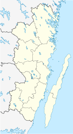
Löttorp
Löttorp | |
|---|---|
 | |
| Coordinates: 57°10′N 16°59′E / 57.167°N 16.983°E | |
| Country | Sweden |
| Province | Öland |
| County | Kalmar County |
| Municipality | Borgholm Municipality |
| Area | |
| • Total | 1.28 km2 (0.49 sq mi) |
| Population (31 December 2010)[1] | |
| • Total | 438 |
| • Density | 343/km2 (890/sq mi) |
| Time zone | UTC+1 (CET) |
| • Summer (DST) | UTC+2 (CEST) |
Löttorp (Swedish pronunciation: [ˈlœ̌tːɔrp])[2] is a locality situated in Borgholm Municipality, Kalmar County, Sweden with 438 inhabitants in 2010.[1] It is connected to the church village Högby on Route 136.
Löttorp provides a number of services for the northern part of the municipality, since the municipality's center, Borgholm, is 40 kilometres (25 mi) away. It has an elementary and middle school, and a library.[citation needed]
See also
References
- ^ a b c "Tätorternas landareal, folkmängd och invånare per km2 2005 och 2010" (in Swedish). Statistics Sweden. 14 December 2011. Archived from the original on 27 January 2012. Retrieved 10 January 2012.
- ^ Jöran Sahlgren; Gösta Bergman (1979). Svenska ortnamn med uttalsuppgifter (in Swedish). p. 16.
External links
![]() Media related to Löttorp at Wikimedia Commons
Media related to Löttorp at Wikimedia Commons


