A949 road
| A949 road in the UK | |||||||||||||||||||||||||
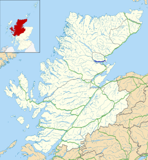
| map | |||||||||||||||||||||||||
| Basic data | |||||||||||||||||||||||||
| Operator: | |||||||||||||||||||||||||
| Start of the street: |
Dornoch ( 57 ° 53 ′ N , 4 ° 2 ′ W ) |
||||||||||||||||||||||||
| End of street: |
Bonar Bridge ( 57 ° 54 ′ N , 4 ° 21 ′ W ) |
||||||||||||||||||||||||
| Overall length: | 20.5 km (12.7 mi ) | ||||||||||||||||||||||||
| The A949 on the edge of Dornoch | |||||||||||||||||||||||||
|
Course of the road
|
|||||||||||||||||||||||||
The A949 road is an A-road in the Scottish Council Area Highland .
course
The street begins in the core of Dornoch at the central square of the village. The B9168 branches off at the western edge of the village and leads north to the A9 . The A949 leads west and after around 1.5 km past the small settlement of Camore . After a total of three kilometers, the A949 joins the A9 ( Polmont - Scrabster ) and runs along with it in a south-westerly direction for a distance of two kilometers. It branches off to the west and leads through sparsely populated regions of the Highlands along the north bank of the Dornoch Firth . The A949 crosses the village of Spinningdale and ends after a total length of 20.5 km with its confluence with the A836 ( Tain - Thurso ) in the village of Bonar Bridge .

