Alqueva reservoir
| Alqueva reservoir | |||||||
|---|---|---|---|---|---|---|---|
| The dam | |||||||
|
|||||||
|
|
|||||||
| Coordinates | 38 ° 11 '51 " N , 7 ° 29' 47" W | ||||||
| Data on the structure | |||||||
| Construction time: | 1995-2002 | ||||||
| Height of the structure crown: | 96 m | ||||||
| Building volume: | 687 000 m³ | ||||||
| Crown length: | 458 m | ||||||
| Power plant output: | 520 MW | ||||||
| Data on the reservoir | |||||||
| Altitude (at congestion destination ) | 152 m | ||||||
| Water surface | 250 km² | ||||||
| Storage space | 3.15 km³ | ||||||
| Total storage space : | 4.15 km³ | ||||||
The Alqueva Reservoir ( port. Barragem do Alqueva ) is a reservoir on the border of southern Portugal and southwestern Spain . It is about 85 kilometers long and has a surface of about 250 square kilometers, of which 187 are in Portugal. According to various reports, its shore length is between 1100 and 1200 kilometers, of which about 1000 run in Portugal.
With a storage volume of a maximum of 4.15 billion cubic meters, it is one of the largest reservoirs in Europe west of the Dnieper . The volume of the Edertalsperre could be accommodated here more than 20 times. According to EDP , it is the largest lake in Portugal and the largest artificial lake in Europe.
It got its name from the village of Alqueva , which lies on its bank.
geography
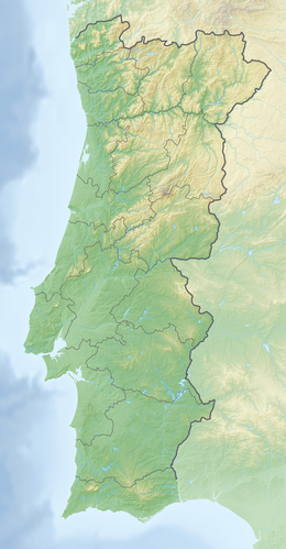
The Alqueva reservoir is located on the Rio Guadiana . To the west of it is the Portuguese Alentejo landscape . The Spanish Extremadura stretches along its eastern banks . Its northern end is marked by Badajoz (Spain) and its southern end by Moura (Portugal).
history
The Portuguese dictator António de Oliveira Salazar had studies carried out in 1957 to determine whether a Guadiana dam would be economically viable. After the Carnation Revolution in 1974 , work began on the first phase of construction in 1976 , but this was discontinued two years later. Decades of discussion about the project ensued.
In 1993 the Portuguese government decided to resume the project. In 1995, the EDIA ( Empresa de Desenvolvimento e Infra-Estruturas do Alqueva ) was founded to build and operate the Alqueva reservoir project.
In the same year the official start of construction took place. During the seven-year construction phase, the village of Aldeia da Luz had to be relocated because it was in the area to be flooded. The facility was completed in 2002 and on February 8, 2002 the flood gates were closed and the reservoir began to fill.
Numerous archaeological sites have sunk in the reservoir, including the Castelo da Lousa and the Cromlech of Xerez .
Dam wall and power plant
The barrier structure is a double-curved concrete arch dam with a height of 96 m above the foundation level . The top of the wall is at a height of 154 m above sea level . The length of the top of the wall is 458 m and its width 7 m. The volume of the structure is 687,000 m³.
With an installed capacity of 520 MW, the Alqueva power plant is one of the largest hydropower plants in Portugal.
irrigation
The Alqueva reservoir forms the heart of an extensive irrigation system that covers a total of around 120,000 hectares.
leisure
It is permitted to drive motor boats (private; up to 7 meters in length and 150 hp) and sailing boats (private; up to 7 meters in length) on the lake. Also are water skiing , swimming and fishing permitted. Jet skiing and parasailing are prohibited on the water, however.
Web links
Individual evidence
- ↑ DECLARAÇÃO AMBIENTAL 2012. (PDF 16.1 MB p. 53 (30)) EDP , accessed on November 3, 2014 (English): “[..] que é o maior reservatório de água em território nacional eo maior lago artificial da Europe."
- ↑ ALQUEVA DAM. APA Barragens de Portugal, accessed November 3, 2014 .
- ↑ The general irrigation system. EDIA, accessed on November 3, 2014 (English).


