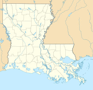
Avery Island
| Avery Island | ||
|---|---|---|
| Avery Island as seen from the mainland | ||
| Waters | Atlantic Ocean | |
| Geographical location | 29 ° 53 '48 " N , 91 ° 54' 32" W | |
|
|
||
| surface | 9 km² | |
| Highest elevation | 49 m | |
The island Avery Iceland is a salt dome in Iberia Parish near the town of New Iberia in the state of Louisiana to the United States . It is about three miles inland from Vermilion Bay , which opens up towards the Gulf of Mexico . Avery Island is approximately 225 kilometers west of New Orleans .
At its highest point, the island reaches about 49 meters above sea level. It covers an area of about 9 km² and is about four kilometers wide at its widest point. Avery Island is surrounded on all sides by swampy river arms, salt marshes and marshland.
The island was formerly known as Île Petite Anse . ("Petite Anse" means "little bay" in the local Cajun dialect.)
Emergence
The island was formed by the upwelling of old deposits of evaporite ( salt ) that exist under the Mississippi triangle region. These uplifts are known as the salt dome. Avery Iceland is one of five salt dome islands over the flat Gulf Coast from Louisiana to rise.
economy
- Avery Island is known worldwide because it is where the Tabasco sauce is made.
- Until 1863 the salt found there was also extracted as food .
- Only the Tabasco visitor center and the Jungle Gardens are open to the public, the rest of the island with the workers' settlements and the residence of the owner family is not accessible.
Further information
- The island is also home to the Jungle Gardens, a well-known bird sanctuary where thousands of snow-white herons and other migratory water birds build their nests every spring.
- Henry Miller sings a short song of praise to Avery Island at the end of his book "The Air-Conditioned Nightmare", published in 1945.
- Avery Island also inspired Jeff Mangum of Neutral Milk Hotel to write their first album, On Avery Island , released in 1996.

