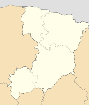
Balashivka (Beresne)
| Balashivka | ||
| Балашівка | ||

|
|
|
| Basic data | ||
|---|---|---|
| Oblast : | Rivne Oblast | |
| Rajon : | Beresne district | |
| Height : | 179 m | |
| Area : | 4.42 km² | |
| Residents : | 1,751 (2001) | |
| Population density : | 396 inhabitants per km² | |
| Postcodes : | 34640 | |
| Area code : | +380 3653 | |
| Geographic location : | 51 ° 0 ' N , 26 ° 58' E | |
| KOATUU : | 5620480401 | |
| Administrative structure : | 4 villages | |
| Address: | вул. С.Тулуба 15 34640 с.Балашівка |
|
| Website : | City council website | |
| Statistical information | ||
|
|
||
Balaschiwka ( Ukrainian Балашівка ; Russian Балашовка Balaschowka , Polish Białaszówka ) is a village in the Ukrainian Rivne Oblast with about 1750 inhabitants (2001).
The village, first mentioned in writing in 1629, is the administrative center of the 285 km² district council of the same name in Beresne district , which also includes the villages of Linchyn ( Лінчин , ⊙ ) with about 720 inhabitants, Mychalyn ( Михалин , ⊙ ) with about 800 inhabitants and Siwky ( Сівки , ⊙ ) with about 140 inhabitants.
The village is located at an altitude of 179 m on the bank of the Komarnytsja ( Комарниця ), a 20 km long tributary of the Slutsch , 18 km east of the Beresne district and about 80 km northeast of the Rivne Oblast center .
Territorial road T-18-11 runs northwest of the village .
Web links
Individual evidence
- ↑ Local website on the official website of the Verkhovna Rada ; accessed on August 12, 2019 (Ukrainian)
- ↑ Local history of Balaschiwka in the history of the cities and villages of the Ukrainian SSR ; accessed on August 12, 2019 (Ukrainian)
- ^ Website of the district council on the official website of the Verkhovna Rada; accessed on August 12, 2019 (Ukrainian)


