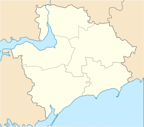
Blahowishchenka (Kamjanka-Dniprowska)
| Blahovishchenka | ||
| Благовіщенка | ||

|
|
|
| Basic data | ||
|---|---|---|
| Oblast : | Zaporizhia Oblast | |
| Rajon : | Kamjanka-Dniprovska district | |
| Height : | no information | |
| Area : | 4.61 km² | |
| Residents : | 2,941 (2004) | |
| Population density : | 638 inhabitants per km² | |
| Postcodes : | 71330 | |
| Area code : | +380 6138 | |
| Geographic location : | 47 ° 27 ' N , 34 ° 50' E | |
| KOATUU : | 2322480501 | |
| Administrative structure : | 1 village | |
| Address: | пр. Центральний 10 71330 с. Благовіщенка |
|
| Statistical information | ||
|
|
||
Blahowishchenka ( Ukrainian Благовіщенка ; Russian Благовещенка Blagoweschenka ) is a village in the west of the Ukrainian Oblast of Zaporizhia with about 5900 inhabitants (2004).
The village, founded in 1774, is the administrative center of the district council of the same name in the east of the Kamjanka-Dniprowska district , to which the village of Schljachowe ( Мічуріна ⊙ ) with about 40 inhabitants also belongs. Blahowishshenka is located southeast of the city of Enerhodar and the Zaporizhia nuclear power plant on the (left) south bank of the Dnepr , which is dammed up to form the Kachowka reservoir .
Web links
- Cities and Villages in Ukraine - Blahovishchenka on imsu-zaporizhzhya.com (Ukrainian)
Individual evidence
- ^ Website of the village on the website of the Verkhovna Rada ; accessed on August 15, 2017 (Ukrainian)

