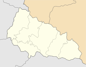
Bohdan (Rakhiv)
| Bohdan | ||
| Богдан | ||

|
|
|
| Basic data | ||
|---|---|---|
| Oblast : | Zakarpattia Oblast | |
| Rajon : | Rakhiv Raion | |
| Height : | 548 m | |
| Area : | 1.29 km² | |
| Residents : | 3,364 (2004) | |
| Population density : | 2,608 inhabitants per km² | |
| Postcodes : | 90645 | |
| Area code : | +380 3132 | |
| Geographic location : | 48 ° 2 ' N , 24 ° 21' E | |
| KOATUU : | 2123681301 | |
| Administrative structure : | 2 villages | |
| Mayor : | Ferenz Petro | |
| Address: | вул. Шевченка 114 90645 с. Богдан |
|
| Statistical information | ||
|
|
||
Bohdan ( Ukrainian Богдан ; Russian Богдан Bogdan , Czech Bohdan or Bila Tisa , Hungarian Tisza- [Bogdány] , German rarely Bochdann ) is a village in the Ukrainian Oblast Transcarpathia .
With around 3400 inhabitants, Bohdan is one of the most populous places in the Rahiv district . The village on the banks of the White Tisza covers an area of 1.29 km² and, together with the village of Breboja ( Бребоя ) to the east, forms a district council .
The place originated in the 18th century and was mentioned in writing for the first time in 1803. Until 1919 it belonged to the Austro-Hungarian Empire or Hungary , then as part of the Carpathian-Ukraine to Czechoslovakia . With the annexation he came back to Hungary 1939-1945, from 1945 the place was part of the Soviet Union and since 1991 part of the Ukraine.
From 1971 onwards, the town had the status of an urban-type settlement , which was revoked on July 22, 1992.


