Broomall
|
|
This article was on the basis of substantive defects quality assurance side of the project USA entered. Help bring the quality of this article to an acceptable level and take part in the discussion ! A closer description on the resolving issues is missing. |
| Broomall | ||
|---|---|---|
 |
||
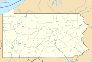
| Location in Pennsylvania | ||
|
|
||
| Basic data | ||
| State : | United States | |
| State : | Pennsylvania | |
| County : | Delaware County | |
| Coordinates : | 39 ° 58 ′ N , 75 ° 21 ′ W | |
| Time zone : | Eastern ( UTC − 5 / −4 ) | |
| Residents : | 11,046 (as of: 2000) | |
| Population density : | 1,472.8 inhabitants per km 2 | |
| Area : | 7.5 km 2 (approx. 3 mi 2 ) of which 7.5 km 2 (approx. 3 mi 2 ) are land |
|
| Height : | 107 m | |
| Postal code : | 19008 | |
| Area code : | +1 610 | |
| FIPS : | 42-09248 | |
| GNIS ID : | 1170351 | |
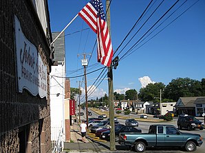
Broomall is a census-designated place (CDP) in Delaware County in southeastern Pennsylvania , USA . The city has 11,046 inhabitants (as of 2000 census) on an area of 7.5 km², which consists entirely of land.
location
Broomall is 10 miles west of Philadelphia . To the east, Broomall is bordered by Darby Creek . Broomall is located in the eastern part of Marple Township , but is not part of it.
history
Originally, Broomall was a small settlement at a crossroad that had formed around a post office. This settlement was named after John Martin Broomall , a 19th century congressman from the region.
The Thomas Massey House in town is on the National Register of Historic Places .
traffic
In the north, the city is affected by Pennsylvania Route 3 (West Chester Pike).
Pennsylvania Route 320 (Sproul Road), running north-south, is one of Broomall's major roads.

