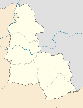
Budylka
| Budylka | ||
| Будилка | ||

|
|
|
| Basic data | ||
|---|---|---|
| Oblast : | Sumy Oblast | |
| Rajon : | Lebedyn district | |
| Height : | 115 m | |
| Area : | Information is missing | |
| Residents : | 2,049 (2001) | |
| Postcodes : | 42238 | |
| Area code : | +380 5445 | |
| Geographic location : | 50 ° 30 ' N , 34 ° 26' E | |
| KOATUU : | 5922981201 | |
| Administrative structure : | 8 villages | |
| Address: | вул. Центральна буд. 58 42 238 с. Будилка |
|
| Website : | Website of the district council | |
| Statistical information | ||
|
|
||
Budylka ( Ukrainian Будилка ; Russian Будилка Budilka ) is a village in the Ukrainian Sumy Oblast with about 2000 inhabitants (2001).
The village was founded in the 1730s, is the administrative center of the eponymous district municipality in the south of Rajon Lebedyn to which even the villages Harbari ( Гарбарі , ⊙ ) with about 140 inhabitants, Hrabzi ( Грабці , ⊙ ), now uninhabited, Dremljuhy ( Дремлюги , ⊙ ) with about 10 population, Kulytschka ( Куличка , ⊙ ) with about 110 inhabitants, Selyschtsche ( Селище , ⊙ ) with about 110 inhabitants, Sofijiwka ( Софіївка , ⊙ ) with about 10 inhabitants and Tschernezke ( Чернецьке , ⊙ ) with about 150 inhabitants belong.
The village is located on the banks of the Budylka ( Будилка ), a 16 km long left tributary of the Psel , 12 km southwest of the Lebedyn district center and 62 km southwest of the Sumy oblast center . The T-19-06 territorial road runs through the village .
Web links
- Municipal Council website on rada.info (Ukrainian)
Individual evidence
- ↑ Local website on the official website of the Verkhovna Rada ; accessed on September 30, 2018 (Ukrainian)
- ↑ history Budylka in the history of the towns and villages of the Ukrainian SSR ; accessed on September 30, 2018 (Ukrainian)
- ^ Local history on the official website of the district council; accessed on September 30, 2018 (Ukrainian)

