Deinsberg Castle
| Deinsberg | ||
|---|---|---|
| Creation time : | around 1200 | |
| Castle type : | Höhenburg, spur location | |
| Conservation status: | Rubble | |
| Standing position : | Reichsburg | |
| Place: | Theisbergstegen | |
| Geographical location | 49 ° 31 '6 " N , 7 ° 27' 31" E | |
|
|
||
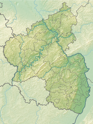
The castle Deinsberg is an Outbound Spur castle on the boundaries of the local community Theisbergstegen in Kusel district in Rhineland-Palatinate .
location
The location of the former castle is at the end of a 50 meter long and 20 meter high rock spur, an extension of the Potzberg . The Potzberg is a 562 meter high wooded mountain in the North Palatinate Bergland .
history
Neither the builder nor the exact time of construction are known. It is assumed, however, that the complex was built as a Reichsburg for the administration of the Reichsamt Deinsberg (Deinsberg is the old name of Theisberg) at the end of the 12th or beginning of the 13th century. In 1219 a ministraler named itself for the first time after Deinsberg. Around 1317 the Reichsamt Deinsberg and, since the Lords of Deinsberg were referred to as servants of the Counts of Veldenz until they died out, probably also the castle fell to the Counts of Veldenz . Nothing is known about the further fate of the castle and its destruction, which is assumed in the 14th century.
investment
The spur castle consists of the core castle on the rock spur and an outer castle . It is possible that the remains of the wall found on the eastern mountain slope belong to the castle's farm buildings. Only stones scattered across the area remain from the core facility. The main building, probably a residential tower, was on the northern hilltop . On the southern tip, the wall remains were once seen a 6 by 6 meter Bauwerkes, one assumes from the because of its position that it was originally the dungeon was. During an excursion on July 23, 2012, these were no longer available. More modern repairs to the interior walls suggest that the building was later part of a cabin that was occupied in 1909. A depression is visible in the incision between the crests, which may have served as a cistern .
A large number of stones distributed in the railing are visible from the system. They were uncovered during an excavation in 1951 and measured in the process.
literature
- Jürgen Keddigkeit , Karl Scherer, Eckhard Braun, Alexander Thon, Rolf Übel : Palatinate Castle Lexicon. Part 1. A- E . On behalf of the Institute for Palatinate History and Folklore. 1st edition. Kaiserslautern 1999. ISBN 3-927754-18-8
Web links
- The Altenburg, seat of the Knights of Deinsberg (PWV Theisbergstieg)
