Geisberg Castle
| Geisberg Castle | ||
|---|---|---|
|
Memorial stone on the castle hill |
||
| Alternative name (s): | Geisburg | |
| Creation time : | around 1300 to 1400 | |
| Castle type : | Höhenburg, summit location | |
| Conservation status: | Burgstall | |
| Standing position : | Ministeriale | |
| Place: | Burrweiler | |
| Geographical location | 49 ° 15 '14.9 " N , 8 ° 4' 29.1" E | |
| Height: | 277.2 m above sea level NN | |
|
|
||
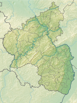
The castle Geisberg , even Geisburg called, is a Outbound hilltop castle at 277.2 m above sea level. NN at the local community Burrweiler in the district of Südliche Weinstrasse in Rhineland-Palatinate . It was located northeast of Burrweiler on the Geisberg, which is also known as the Schlossberg.
history
In 1325, the Geisberg and a vineyard were sold to the Eusserthal monastery by a Burrweiler couple . The small hilltop castle itself was first mentioned in a document in 1372 and since then has been in the hands of the Lords of Dahn , Ministeriale of the Bishops of Speyer.
It was probably destroyed in the Peasants' War in 1525, because 1544 a plan to rebuild the castle is mentioned in a document. However, this reconstruction did not take place, instead the Lords of Dahn built a new castle and an office building (today a winegrower's restaurant) in the town center . Some of the stones for the new building were also taken from the collapsed Geisburg. Over the following years the ruins also served the population as a quarry until the last remains of the wall had disappeared.
A memorial stone has been on the hill since 1977, erected by the Burrweiler land consolidation.
literature
- Jürgen Keddigkeit , Alexander Thon, Rolf Übel : Palatinate Castle Lexicon, Volume 2: FH . Published by the Institute for Palatinate History and Folklore, Kaiserslautern 2002, ISBN 3-927754-48-X , pp. 173–176.
Web links
- Entry on Castle Geisberg in the scientific database " EBIDAT " of the European Castle Institute
Individual evidence
- ↑ www.burrweiler.de , Historical

