Canton (Connecticut)
| Canton | ||
|---|---|---|
|
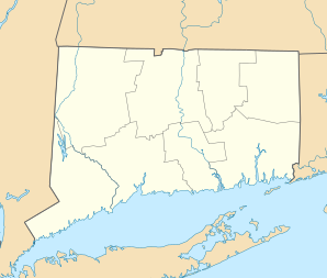
Location in Connecticut
|
||
| Basic data | ||
| Foundation : | 1806 | |
| State : | United States | |
| State : | Connecticut | |
| County : | Hartford County | |
| Coordinates : | 41 ° 52 ′ N , 72 ° 55 ′ W | |
| Time zone : | Eastern ( UTC − 5 / −4 ) | |
| Residents : | 9,932 (as of: 2005) | |
| Population density : | 156.2 inhabitants per km 2 | |
| Area : | 64.9 km 2 (approx. 25 mi 2 ) of which 63.6 km 2 (approx. 25 mi 2 ) are land |
|
| Height : | 121 m | |
| Postcodes : | 06019, 06020, 06022, 06059 | |
| Area code : | +1 860 | |
| FIPS : | 09-12270 | |
| GNIS ID : | 0213404 | |
| Website : | www.townofcantonct.org | |
Canton is a city in Hartford County in the US state of Connecticut , United States , with 9932 inhabitants (as of 2005). The urban area has a size of 64.9 km².
Canton was first mentioned as a settlement in 1737 . In 1806 it became a city. Canton is connected to US Routes 44 and 202 and is located approximately 14 miles west of Hartford .
schools
- Cherry Brook Primary School
- Canton Intermediate School
- Canton Middle School
- Canton High School
sons and daughters of the town
- Lucien Barbour (1811–1880), lawyer and politician
- Philemon Bliss (1813–1889), lawyer and politician
