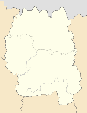
Khomutez (Brusyliv)
| Khomutez (Brusyliv) | ||
| Хомутець | ||

|
|
|
| Basic data | ||
|---|---|---|
| Oblast : | Zhytomyr Oblast | |
| Rajon : | Brusyliv district | |
| Height : | 189 m | |
| Area : | 5.313 km² | |
| Residents : | 1,239 (2001) | |
| Population density : | 233 inhabitants per km² | |
| Postcodes : | 12630 | |
| Area code : | +380 4162 | |
| Geographic location : | 50 ° 15 ' N , 29 ° 36' E | |
| KOATUU : | 1820987001 | |
| Administrative structure : | 1 village | |
| Address: | вул. Центральна буд. 16 12630 с. Хомутець |
|
| Website : | City council website | |
| Statistical information | ||
|
|
||
Chomutez ( Ukrainian Хомутець ; Russian Хомутец ) is a village in the east of the Ukrainian Oblast Zhytomyr with about 1200 inhabitants (2001).
The village, first mentioned in writing in 1611, was the administrative center of the 44.9 km² district council of the same name in Brussyliw Rajon , to which the villages Wilschka ( Вільшка , ⊙ ) with about 180 inhabitants and Krakiwschtschyna ( Краківщина , ⊙ ) with about 110 Residents belonged. Since July 28, 2016, the village has been part of the newly established settlement community Brussyliw ( Брусилівська селищна громада ).
The village is located at an altitude of 189 m on the bank of the Hlyboke ( Глибоке or Hlyboka / Глибока ), a 10 km long right tributary of the Sdwysh , 8 km southeast of the municipality and district center Brusyliv and 75 km east of the Oblast center Zhytomyr .
Territorial road T – 10–28 runs through the village .
Web links
Individual evidence
- ↑ Local website on the official website of the Verkhovna Rada ; accessed on 2019 (ukrainian)
- ↑ history Chomutez in the history of the towns and villages of the Ukrainian SSR ; accessed on June 28, 2019 (Ukrainian)
- ^ Website of the district council on the official website of the Verkhovna Rada; accessed on June 28, 2019 (Ukrainian)


