Clermont, Queensland
| Clermont | |||||||
|---|---|---|---|---|---|---|---|
 Hotel Clermont in Clermont |
|||||||
|
|||||||
|
|||||||
|
|||||||
|
|||||||
|
|
|||||||
| Clermont | ||||||||||||||||||||||||||||||||||||||||||||||||
|---|---|---|---|---|---|---|---|---|---|---|---|---|---|---|---|---|---|---|---|---|---|---|---|---|---|---|---|---|---|---|---|---|---|---|---|---|---|---|---|---|---|---|---|---|---|---|---|---|
| Climate diagram | ||||||||||||||||||||||||||||||||||||||||||||||||
| ||||||||||||||||||||||||||||||||||||||||||||||||
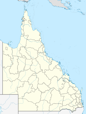
Clermont is a small town located in the Isaac Region , Queensland , Australia . It is located 274 km southwest of Mackay at the junction of the Gregory Highway and Peak Downs Highway .
history
Ludwig Leichhardt was the first European who came through this area in 1845. When gold was discovered in the region in 1861, this place was created, which was named a city in 1864. Clermont was named after the French city of Clermont-Ferrand . In the 1880s, around 4,000 Chinese lived in the city who prospected gold and mined copper. Because of racist sentiments, they were expelled from the region in 1888.
A railway line for transportation across Emerald reached Clermont in February 1884.
During the sheep shearers' strike of 1891, 400 soldiers were summoned to the town by the Queensland colonial government to separate the striking unionized sheep shearers from the strike breakers.
The place was often flooded, especially in the years between 1864 and 1896. The greatest flood on December 28, 1916 led to the death of 65 people in a population of 1500. After this flood, the wooden houses were moved to a higher area .
today
The place has its right to exist through large-scale coal mining and agriculture. Despite the small population there are several golf courses, a swimming pool, some rugby teams and other sports activities, all supported by the local mining company to make working there more attractive.
Artifacts and historical machines are on display at the Clermont Museum. The graves of the flood victims are located in Clermont Cemetery, on the banks of Sandy Creek. Tours of a coal mine at Blair Athol are available for tourists.
Web links
Individual evidence
- ^ Australian Bureau of Statistics : Clermont ( English ) In: 2016 Census QuickStats . June 27, 2017. Retrieved April 13, 2020.
- ↑ Bureau of Meteorology, Australia: Clermont Clermont Information. World Meteorological Organization, accessed April 6, 2012 .

