Colangma
| Colangma | ||
|---|---|---|
|
in the middle Gauri Sankar , right of it Colangma, pyramid far right Lapche Kang II |
||
| height | 6952 m | |
| location | Tibet ( PR China ) | |
| Mountains | Lapche Himal ( Himalaya ) | |
| Dominance | 3.75 km → Lapche Kang II | |
| Notch height | 1052 m ↓ (5900 m) | |
| Coordinates | 28 ° 18 '58 " N , 86 ° 17' 8" E | |
|
|
||
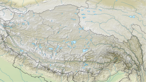
The Colangma is a glaciated mountain in the Himalayas in the Tibet Autonomous Region .
The mountain has a height of 6952 m . It is located in the Lapche Himal on the border of the Nyalam and Tingri counties . The Lapche Kang II ( 7072 m ) rises 3.75 km further east. The Colangma lies on the watershed between Sunkoshi in the west, Tamakoshi in the south and Bum Chu (upper reaches of the Arun ) in the northeast. On the eastern flank, a glacier flows in a northerly direction to the high mountain lake Colangma of the same name, 6 km away .
Web links
Commons : Colangma - collection of images, videos and audio files
- Colangma, China on Peakbagger.com (English)
- Panorama photo of the Lapche Himal at mountainsoftravelphotos.com

