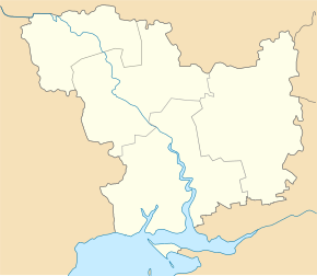
Dmytrivka (Ochakiv)
| Dmytrivka (Ochakiv) | ||
| Дмитрівка | ||

|
|
|
| Basic data | ||
|---|---|---|
| Oblast : | Mykolaiv Oblast | |
| Rajon : | Ochakiv district | |
| Height : | 39 m | |
| Area : | 1.12 km² | |
| Residents : | 1,193 (2001) | |
| Population density : | 1,065 inhabitants per km² | |
| Postcodes : | 57545 | |
| Area code : | +380 5154 | |
| Geographic location : | 46 ° 38 ′ N , 31 ° 44 ′ E | |
| KOATUU : | 4825180501 | |
| Administrative structure : | 1 village | |
| Address: | вул. Радянська буд. 40 57545 с. Дмитрівка |
|
| Website : | City council website | |
| Statistical information | ||
|
|
||
Dmytriwka ( Ukrainian Дмитрівка ; Russian Дмитровка Dmitrowka ) is a village in the south of the Ukrainian Oblast Mykolaiv with about 1200 inhabitants (2001).
The village, founded in the 18th century, is the only place in the district council of the same name in the south of Ochakiv Rajon .
The village with an area of 1.12 km² is 39 m above sea level on the banks of the Dnieper Bug Liman , 18 km east of the Ochakiv district center and 57 km south of the Mykolaiv oblast center .
The T-15-07 territorial road runs through the village .
Individual evidence
- ↑ Local website on the official website of the Verkhovna Rada ; accessed on December 1, 2017 (Ukrainian)
- ^ Local history of Dmytrivka in the history of the cities and villages of the Ukrainian SSR ; accessed on December 1, 2017 (Ukrainian)

