Emek Lod
| Emek Lod | ||
|---|---|---|

|
||
| Replica of the Slat Abn Schaif Synagogue from Libya | ||
| Basic data | ||
| hebrew : | מועצה אזורית עמק לוד | |
| State : |
|
|
| District : | Central | |
| Founded : | 1952 | |
| Coordinates : | 31 ° 59 ' N , 34 ° 51' E | |
| Area : | 35 km² | |
| Residents : | 14,100 (2014) | |
| Population density : | 403 inhabitants per km² | |
| Time zone : | UTC + 2 | |
| Community type: | Regional administration | |
| Mayor : | Menasche Mosche (מנשה משה) | |
|
|
||
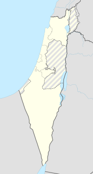
The regional administration Emek Lod ( Hebrew מוֹעָצָה אֲזוֹרִית עֵמֶק לֹד Mo'aza Asorit Emek Lod , Regional Administration Valley of Lod) is a regional administration located in the valley of the same name in the central district of Israel .
location
In the east, the area of the regional administration borders the city of Lod and in the north borders on Or Jehuda and Ben Gurion Airport . In the south it borders on Be'er Ja'akow and Ramla and in the west on Beit Dagan and Rishon LeZion .
history
The regional association was founded in 1952.
Demographics
The Israeli Central Bureau of Statistics reports the following population figures for the regional administration:
| Year of the census | 1961 | 1972 | 1983 | 1995 | 2008 |
| Number of inhabitants | 4,600 | 6,200 | 6,900 | 8,600 | 12,000 |
structure
- 8 moshavim : Achi'eser (אחיעזר) Ganot (גנות) Chemed (חמד) · Mishmar ha-Shiva (משמר השבעה) · Nir Zwi (ניר צבי) Zafria (צפריה) Jagel (יגל) · Setan (זיתן)
- 1 Municipal place : Kfar Chabad (כפר חב"ד)
Web links
Commons : Emek Lod Regional Administration - collection of images, videos and audio files
- Official Website (Hebrew)
