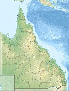
Endeavor Street
| Endeavor Street | ||
|---|---|---|
| Endeavor Street (red) | ||
| Connects waters | Coral sea | |
| with water | Arafura lake | |
| Separates land mass | Cape York Peninsula | |
| of land mass | Prince of Wales Island | |
| Data | ||
| Geographical location | 10 ° 47 ′ S , 142 ° 17 ′ E | |
|
|
||
| length | 50 km | |
| Smallest width | 10 km | |
| Greatest depth | 15 m | |
The Endeavor Strait [ ɪnˈdɛvɐ ] is the name given to the southern part of the Torres Strait between Australia and Papua New Guinea , more precisely the strait between Cape York and the Prince of Wales Island . It was discovered by Luiz Vaéz de Torres , who discovered the Torres Strait Islands in 1606 and drove through the later Endeavor Strait into the Arafura Sea . It was named after James Cook's HMS Endeavor in 1770 . The narrow passage with numerous reefs and strong currents was only inadequately mapped for a long time and was therefore the undoing of many ships. William Bligh made other sketches of maps when he drove to Timor in the dinghy after the mutiny on the Bounty . It was not measured precisely until the end of the 19th century by John McLean (1838–1907).
The most famous wreck associated with the Endeavor Strait is probably that of HMS Pandora , which ran aground on the Endeavor Strait on the Great Barrier Reef on August 29, 1791, sank and lost 35 men, including four on Tahiti captured crew members / the Bounty mutineers .

