Geissflue (SO pipe)
| Geissflue | ||
|---|---|---|
|
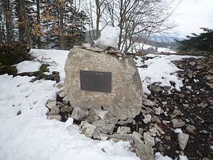
Summit stone on the Geissfluegrat |
||
| height | 963 m above sea level M. | |
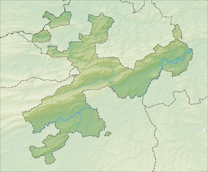
| location | Cantons of Basel-Land / Solothurn / Aargau , Switzerland | |
| Mountains | law | |
| Dominance | 5.8 km → Wisenberg | |
| Notch height | 254 m ↓ Wisen | |
| Coordinates | 639.1 thousand / 252240 | |
|
|
||
The Geissflue is 963 m above sea level. M. high mountain in the Swiss Jura north of Rohr (SO) between the cantons of Basel-Land , Solothurn and Aargau .
geography
The border between the cantons of Basel-Land and Solothurn runs over the summit . On the Geissfluegrat 639685/252575 , which adjoins it to the northeast , lies the highest point in the canton of Aargau with a height of 908 m . The mountain is forested and partly rocky (Jurassic limestone). North of the Geissflue rises at an altitude of 830 m above sea level. M. die Ergolz (639286/252725).
The Geissflue is easily accessible on foot from the west from Naturfreundehaus Schafmatt , from the south from Barmelweid and from the east from Salhöhe .
Boundary stone on the Geissflue
Web links
- Wasserflue and Geissflue on hikr.org


