Guadalope
| Guadalope | ||
|
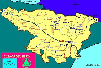
The Ebro electricity system |
||
| Data | ||
| location | northeastern Spain | |
| River system | Ebro | |
| Drain over | Ebro → Mediterranean | |
| source | Sierra de Gúdar | |
| Source height | 2000 msnm | |
| muzzle | at Caspe in the Ebro coordinates: 41 ° 14 ′ 49 " N , 0 ° 3 ′ 29" W 41 ° 14 ′ 49 " N , 0 ° 3 ′ 29" W
|
|
| length | 160 km | |
| Catchment area | 3890 km² | |
| Drain |
MQ |
4.83 m³ / s |
|
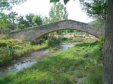
Río Guadalope in Alcañiz |
||
The Río Guadalope is a 160 km long right-hand tributary of the Ebro in northeastern Spain . Its catchment area has an area of 3890 km² . It is the second largest right tributary of the Ebro.
geography

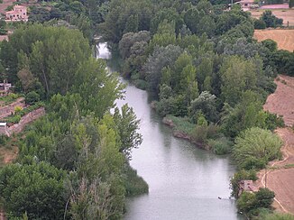
The Guadalope rises in the Sierra de Gúdar in the province of Teruel and flows generally in a north-easterly direction over Alcañiz until it flows into the Ebro dammed by the Embalse de Mequinenza at Caspe . The water flow is regulated by reservoirs, namely Aliaga on the upper course, Santolea and Calanda on the middle course and Caspe on the lower course. In its course the Guadalope touches the places Santolea, Calanda and Civan. Tributaries are the Bergantes and the Guadalopillo with the Gallipuén reservoir as well as the Fortanete, Bordón, Mezquín and Aliaga. The La Estanca de Alcañiz reservoir is located in the Guadalope catchment area.

