
Hala'ib triangle
Coordinates: 22 ° 28 ′ 9 ″ N , 35 ° 31 ′ 23 ″ E


The Hala'ib triangle ( Arabic مثلث حلايب Muthallath Halāyib , DMG Muṯallaṯ Ḥalāyib orحلائب / Ḥalāʾib ) is a disputed area claimed by the states of Egypt and Sudan , but has been controlled by Egypt since 2000.
geography
The Hala'ib Triangle is located in the south-east of Egypt on the Red Sea and covers an area of 20,580 square kilometers. The interior of the country is mountainous desert (highest elevation about 1,744 m) and crossed by wadis . The mountain ranges run out towards the coast into a sandy plain. Vegetation is either sparse ( acacias and low grass) or nonexistent. The 260 km long coastline is lined with tropical coral reefs and some offshore islands. The landscape is located in Nubia . 30 km from the border with Sudan, 20 to 25 km inland lies the Gebel Elba mountain , which gives the Gebel Elba National Park its name . Most of the area, with the exception of the western part west of about 35 ° 02'E, belongs to the Gebel Elba National Park, which also extends north of the area. The smaller western part belongs to the Wādī al-ʿAlāqī reserve . The few inhabitants are mostly Nubians .
towns and places
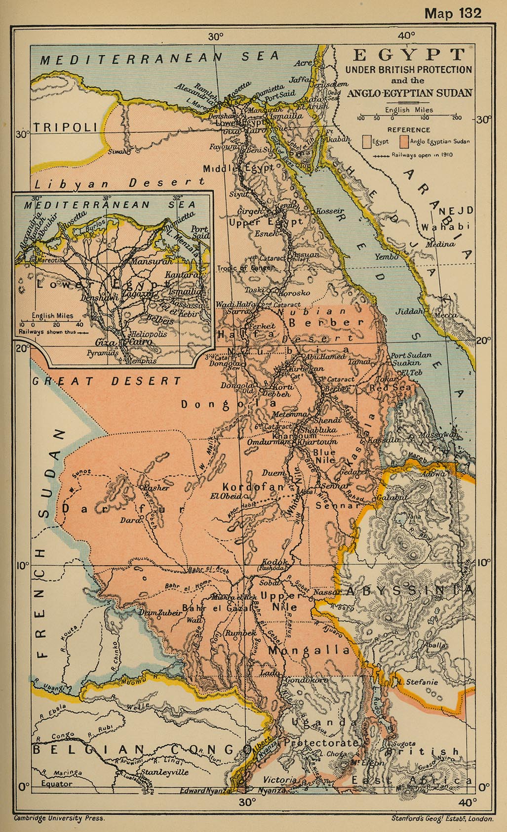
![]() Map with all coordinates: OSM | WikiMap
Map with all coordinates: OSM | WikiMap
The eponymous place Hala'ib Lage ( Arabic قرية حلايب, DMG Qaryat Ḥalāyib ) had 1926 inhabitants at the state of the census of November 11, 2006. In the Middle Ages, the port city of Aidhab Lage (عيذاب / ʿAiḏāb ). Another village is Abu Ramad location (قرية أبو رماد / Qaryat Abū Ramād ), which is 30 km northwest of Hala'ib on the coast of the Red Sea. Abu Ramad is the last stop on the bus routes that connect the area with Cairo and other Egyptian cities such as Aswan , Marsa Alam and Qena . A third place is the small village of Hadarba Lage (قرية رأس الحداربة / Qaryat Raʾs al-Ḥadāriba ) on the main road towards Sudan, 25 kilometers south of Hala'ib and 16 kilometers west of the Red Sea coast and directly on the 22nd degree of latitude, the border claimed by Egypt and thus in fact a border town. Asch-Schalatin Lage is an Egyptian city immediately north of the administrative border.
The census of November 11, 2006 only shows a population for Hala'ib that is equal to the population for the district ( markaz ). The remaining villages are either subsumed under Hala'ib or are not permanently inhabited. The Sudanese city closest to the area is Osief (Marsa Osief), 26 km south of the 22nd parallel north, the political border claimed by Egypt.
Demarcation
The designation of the area as a triangle is a rough generalization . Only the longer 290 km long southern border, which follows the 22nd parallel , is a straight line. While the entire area is north of the 22nd parallel, at the westernmost point, but south of the 22nd parallel, the smaller area Bir Tawil joins, which was placed under Egyptian administration, but is not claimed today by Egypt or Sudan. As a result, the westernmost point of the Hala'ib triangle is also the easternmost point of the Bir-Tawil area. Finally, Wadi Halfa Salient , a finger-like bulge in Sudanese territory to the north along the Nile, was placed under Sudanese administration, so that the administrative border between Egypt and Sudan deviates from latitude 22 ° north in three cases.
administration
The Hala'ib district ( markaz ) established by Egypt (as the southernmost district of the al-Bahr al-ahmar ( Red Sea ) governorate ) includes all the inhabited parts of the Hala'ib triangle, but only around 37 percent of its area (7,573 from 20,580 km²) in the east with the largest stretch of coast. As of the November 11, 2006 census, the population was 2,268.
The uninhabited remainder of the disputed area is counted from Egypt to the district of Bi'r Schalatain , which connects to the west and north.

From the Sudanese side, the area is regarded as part of the Hala'ib district in the state of al-Bahr al-ahmar (number 1 on the map), with Hala'ib as the district capital. However, actual control is exercised by Egypt.
history
In 1899 the border between was Anglo-Egyptian Sudan and Egypt in the Anglo-Egyptian condominium - Convention established at the 22nd parallel. However, access to the Hala'ib triangle and thus the administration of the population there was easier from Sudan, so that in 1902 a new administrative border extended to the north was established in an additional treaty to the original agreement of the United Kingdom of Great Britain and Ireland included the Hala'ib triangle in the Sudanese administrative area.
In 1956 Sudan declared its independence against the will of the then Egyptian President Gamal Abdel Nasser and claimed the demarcation of 1902. Egypt registered rights to the area on the basis of the treaty of 1899 and denied the legality of the Sudanese demarcation. In a referendum in 1958, Egypt wanted the people of the Hala'ib triangle to vote, whereupon the Sudanese foreign minister complained to the UN Security Council , which, however, did not take a decision. In the same year, Gamal Abdel Nasser sent troops into the Hala'ib triangle, but withdrew them shortly afterwards.
The Hala'ib Triangle area remained under Sudanese control until 1992. In February 1992, Sudan announced that it had granted exploration rights to the waters of the Hala'ib Triangle to a Canadian oil company, which Egypt had declared illegal. Negotiations began to clarify the situation, but the oil company withdrew from the contract pending sovereignty over the area. In April 1992 there was a border incident. Two Egyptian military vehicles attacked a Sudanese border post, killing two police officers and injuring four others. President Hosni Mubarak regretted and promised compensation. Both sides downplayed the incident, but emphasized that they did not want to give up a square inch of land.
In January 2000, Sudan withdrew its troops from the Hala'ib Triangle, ceding control of the area to Egypt. This was followed by the occupation of the area by Egyptian troops.
However, in the course of the construction of Egyptian settlements in the north of the territory in 2004, Sudan's President Omar al-Bashir stated that, despite the withdrawal of its troops and Egyptian control of the Hala'ib triangle, Sudan still had a legal claim to the area.
At the moment (as of 2006) the customs posts on the northern border with Egypt are operated jointly by the military of both countries. However, it is not possible to leave the Sudanese for Egypt and vice versa via this route. There is a special regulation for Sudanese traders in the northern border town of Bi'r Schalatain .
Although no settlement in the dispute over this area is foreseeable, there is already a certain amount of cooperation: The area is covered by the mobile network of both countries and the currency is both the Sudanese and Egyptian pounds. Since 2005, the Egyptian Ministry of Tourism has approved the Hala'ib triangle for tourism.
cards

Web links
- Page with an old sketch map (Arabic)
- Page with sketched map (border points marked)
Individual evidence
- ↑ http://www.msrintranet.capmas.gov.eg/pls/census/cnsest_a_sex_ama?LANG=1&lname=/&YY=2006&cod=31&gv= ( Memento from August 15, 2012 on WebCite )
- ↑ 1st Joint Survey Egypt / Sudan border (PDF, 534 kB)
- ↑ Map from 1912 ( Memento of the original from June 2, 2016 in the Internet Archive ) Info: The archive link has been inserted automatically and has not yet been checked. Please check the original and archive link according to the instructions and then remove this notice.
- ↑ Citypopulation.de Population for the census on November 11, 2006
- ↑ http://www.msrintranet.capmas.gov.eg/pls/census/cnsest_a_sex_ama?LANG=1&lname=/&YY=2006&cod=31&gv= ( Memento from August 15, 2012 on WebCite ) Population differing from 1926, also from the census on November 11, 2006
- ^ Egypt Sends Troops To Sudan, Claim To Part Of Territory, Khartoum Rejects Demand. In: The Times , February 18, 1958, p. 8.
- ^ Sudan Rejects Egypt's Ultimatum, Offer To Discuss Border, Legal Rights To Be Defended "Whatever The Cost". In: The Times , February 19, 1958, p. 8.
- ^ Nasser Moves South. In: The Times , February 19, 1958, p. 9.
- ^ Sudan Sends Appeal To Security Council, "Huge Infiltration" By Egyptians. In: The Times , February 21, 1958, p. 8.
- ^ Egyptians Slip Away, Tension Eases On Sudan Frontier. In: The Times , February 26, 1958, p. 7.
- ^ Egypt, Algeria and Tunisia Accuse Sudan, as Hala'ib Dispute Flares Up Washington Report. February 1993, p. 33.
- ↑ A View of Sudan from Africa: Monthly Briefing, August 08-02, 2002. ( Memento of the original from March 24, 2012 in the Internet Archive ) Info: The archive link was inserted automatically and has not yet been checked. Please check the original and archive link according to the instructions and then remove this notice. (PDF; 24 kB) The Machakos Protocol