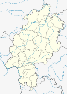
Hildegersen
Coordinates: 51 ° 19 ′ 49 ″ N , 9 ° 12 ′ 50 ″ E
Hildegersen was a settlement that was first mentioned in a document at the beginning of the 13th century in what is today the district of the north Hessian city of Wolfhagen , district of Kassel , which was mentioned for the last time in 1334 and was already mentioned as desolate .
Geographical location
The small village was located about 3 km northeast of Wolfhagen at 313 m at the eastern foot of the Helfenberg , about midway between Philippinenthal in the north and Philippinenburg in the south, in the corridor "In der Hölle", where the Höllehof was later also located.
history
The place was first mentioned in documents from the Hasungen monastery in 1200/1230 , it appears in 1260 as “Hyldegerssen”, and is then referred to as “villa desolata” (desert village) as early as 1334.
literature
- Georg Landau : Historical-topographical description of the desolate localities in the Electorate of Hesse and in the grand-ducal Hessian parts of Hessengaue, Oberlahngaue and Ittergaue (= journal of the Association for Hessian History and Regional Studies. Supplement 7, ZDB -ID 200295-4 ). Theodor Fischer, Kassel 1858, p. 172 .
- Heinrich Reimer (Hrsg.): Historical local lexicon for Kurhessen (publications of the historical commission for Hessen). Elwert, Marburg, 1974, p. 236.
Web links
- Hildegersen, District of Kassel. Historical local dictionary for Hessen. In: Landesgeschichtliches Informationssystem Hessen (LAGIS).
