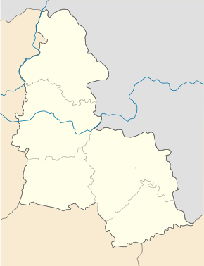
Holinka (Romny)
| Holinka | ||
| Голінка | ||

|
|
|
| Basic data | ||
|---|---|---|
| Oblast : | Sumy Oblast | |
| Rajon : | Romny district | |
| Height : | 167 m | |
| Area : | Information is missing | |
| Residents : | 443 (2001) | |
| Postcodes : | 42086 | |
| Area code : | +380 5448 | |
| Geographic location : | 50 ° 32 ' N , 33 ° 13' E | |
| KOATUU : | 5924186702 | |
| Administrative structure : | 1 village | |
| Address: | вул. Шевченка буд. 36 42085 с. Нова Гребля |
|
| Website : | City council website | |
| Statistical information | ||
|
|
||
Holinka ( Ukrainian Голінка ; Russian Голенка Golenka ) is a village in the west of the Ukrainian Sumy Oblast with about 440 inhabitants (2001).
The village was renamed from Holenka ( Голенка ) to Holinka in July 2003 . Administratively it belongs to the district municipality of Nova Hreblja ( Нова Гребля ) in the south of Romny Raion and is located at an altitude of 167 m on the right bank of the Sula , a 363 km long left tributary of the Dnieper , near the border with Poltava Oblast .
The village is located 3 km south of the Nowa Hreblja community center, about 40 km southwest of the Romny district center and about 140 km southwest of the Sumy oblast center .
Personalities
The Russian infantry general , surveyor and cartographer Ivan Strelbizki ( Иван Афанасьевич Стрельбицкий ; 1828–1900) was born in the village .
Individual evidence
- ↑ a b local website on the official website of the Verkhovna Rada ; accessed on March 27, 2020 (Ukrainian)


