Hura
| Hura | ||
|---|---|---|
| Basic data | ||
| hebrew : | חורה | |
| arabic : | حورة | |
| State : |
|
|
| District : | south | |
| Founded : | 1989 | |
| Coordinates : | 31 ° 18 ' N , 34 ° 56' E | |
| Height : | 416 m | |
| Area : | 6.646 km² | |
| Residents : | 21,558 (as of 2018) | |
| Population density : | 3,244 inhabitants per km² | |
| Community code : | 1303 | |
| Time zone : | UTC + 2 | |
| Community type: | Local government | |
|
|
||
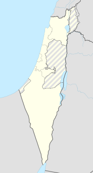
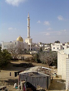
Hura ( Hebrew חורה, Arabic حورة, DMG Ḥūra ) is a Bedouin village in the southern district of Israel . It is located 15 km northeast of Beer Sheva near Meitar .
The village was founded in 1989 and made municipal administration in 1996 . In 2000, the first found elections held for the council, where Alatawneh Musa was elected mayor. In November 2011 the place had 16,980 inhabitants, in 2018 21,558. According to one statistic, the number of residents of Hura is expected to reach 35,000 in 2020. Annual population growth is one of the highest in Israel at 11.2%.
Web links
Commons : Hura - collection of images, videos and audio files
Individual evidence
- ↑ אוכלוסייה ביישובים 2018 (population of the settlements 2018). (XLSX; 0.13 MB) Israel Central Bureau of Statistics , August 25, 2019, accessed May 11, 2020 .
- ↑ אוכלוסייה ביישובים 2018 (population of the settlements 2018). (XLSX; 0.13 MB) Israel Central Bureau of Statistics , August 25, 2019, accessed May 11, 2020 .

