Meitar
| Meitar | ||
|---|---|---|
| Basic data | ||
| hebrew : | מיתר | |
| State : |
|
|
| District : | south | |
| Founded : | 1980 | |
| Coordinates : | 31 ° 20 ′ N , 34 ° 56 ′ E | |
| Height : | 457 m | |
| Area : | 16.696 km² | |
| Residents : | 8438 (as of: 2018) | |
| Population density : | 505 inhabitants per km² | |
| Community code : | 1268 | |
| Time zone : | UTC + 2 | |
|
|
||
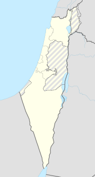
Meitar ( Hebrew מיתר) is a town in the northern part of the Negev desert in Israel . The village had 8,438 inhabitants in 2018.
Meitar is located 15 km northeast of Beersheba , on the road Be'er Scheva- Hebron . Immediately north of the place is the border with the West Bank .
The town was founded in 1980 and in 1984 the first houses were occupied. The place is characterized by single-family houses and the socio-cultural level of the residents is among the highest in Israel.
Meitar is one of the wealthy satellite cities of Be'er Sheva, which also includes Lehawim and Omer .
There are extensive planted forests around the city, some of the largest in Israel. These are the Lahaw Forest and the Yatir Forest .
Web links
Commons : Meitar - collection of images, videos and audio files
Individual evidence
- ↑ אוכלוסייה ביישובים 2018 (population of the settlements 2018). (XLSX; 0.13 MB) Israel Central Bureau of Statistics , August 25, 2019, accessed May 11, 2020 .
- ↑ אוכלוסייה ביישובים 2018 (population of the settlements 2018). (XLSX; 0.13 MB) Israel Central Bureau of Statistics , August 25, 2019, accessed May 11, 2020 .
