Jarun (village)
| Jarun | ||
| Ярунь | ||

|
|
|
| Basic data | ||
|---|---|---|
| Oblast : | Zhytomyr Oblast | |
| Rajon : | Novohrad-Volynskyi district | |
| Height : | 214 m | |
| Area : | 6.543 km² | |
| Residents : | 2,995 (2001) | |
| Population density : | 458 inhabitants per km² | |
| Postcodes : | 11762 | |
| Area code : | +380 4141 | |
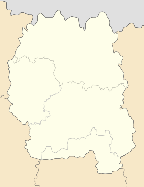
| Geographic location : | 50 ° 33 ' N , 27 ° 28' E | |
| KOATUU : | 1824087401 | |
| Administrative structure : | 2 villages | |
| Address: | вул. Миру буд. 13 11762 с. Ярунь |
|
| Website : | City council website | |
| Statistical information | ||
|
|
||
Jarun ( Ukrainian and Russian Ярунь ) is a village in the west of the Ukrainian Oblast Zhytomyr with about 3000 inhabitants (2001).
The village, first mentioned in writing in 1540, was occupied by the Wehrmacht from July 6, 1941 to January 8, 1944 .
Jarun is the administrative center of the eponymous, 71.375 km² district council in Nowohrad-Wolynskyj district , to which the southern village of Hirky ( Гірки , ⊙ ) with about 700 inhabitants belongs.
The village is located at an altitude of 214 m on the bank of the Zerem ( Церем ), a 58 km long left tributary of the Slutsch , 15 km southwest of the Novohrad-Volynskyj district center and 98 km northwest of the Zhytomyr oblast center .
Web links
Commons : Jarun - collection of images, videos and audio files
Individual evidence
- ↑ Local website on the official website of the Verkhovna Rada ; accessed on November 23, 2019 (Ukrainian)
- ^ Local history of Jarun in the history of the cities and villages of the Ukrainian SSR ; accessed on November 23, 2019 (Ukrainian)
- ^ Website of the district council on the official website of the Verkhovna Rada; accessed on November 23, 2019 (Ukrainian)


