
Kaindy (river)
|
Kaindy Кайыңды (Kajyngdy), Каинды |
||
|
|
||
| Data | ||
| location | Issyk Kul ( Kyrgyzstan ) | |
| River system | Tarim | |
| Drain over | Saryjas → Kumarik → Aksu → Tarim → Lop Nor desert | |
| source |
Kaindy Glacier in Tian Shan 42 ° 3 ′ 57 ″ N , 79 ° 33 ′ 2 ″ E |
|
| Source height | approx. 3300 m | |
| muzzle | in the Saryjas coordinates: 41 ° 57 ′ 25 " N , 79 ° 5 ′ 7" E 41 ° 57 ′ 25 " N , 79 ° 5 ′ 7" E |
|
| Mouth height | 2435 m | |
| Height difference | approx. 865 m
|
|
| Right tributaries | Amjailau (Амджайлау) | |
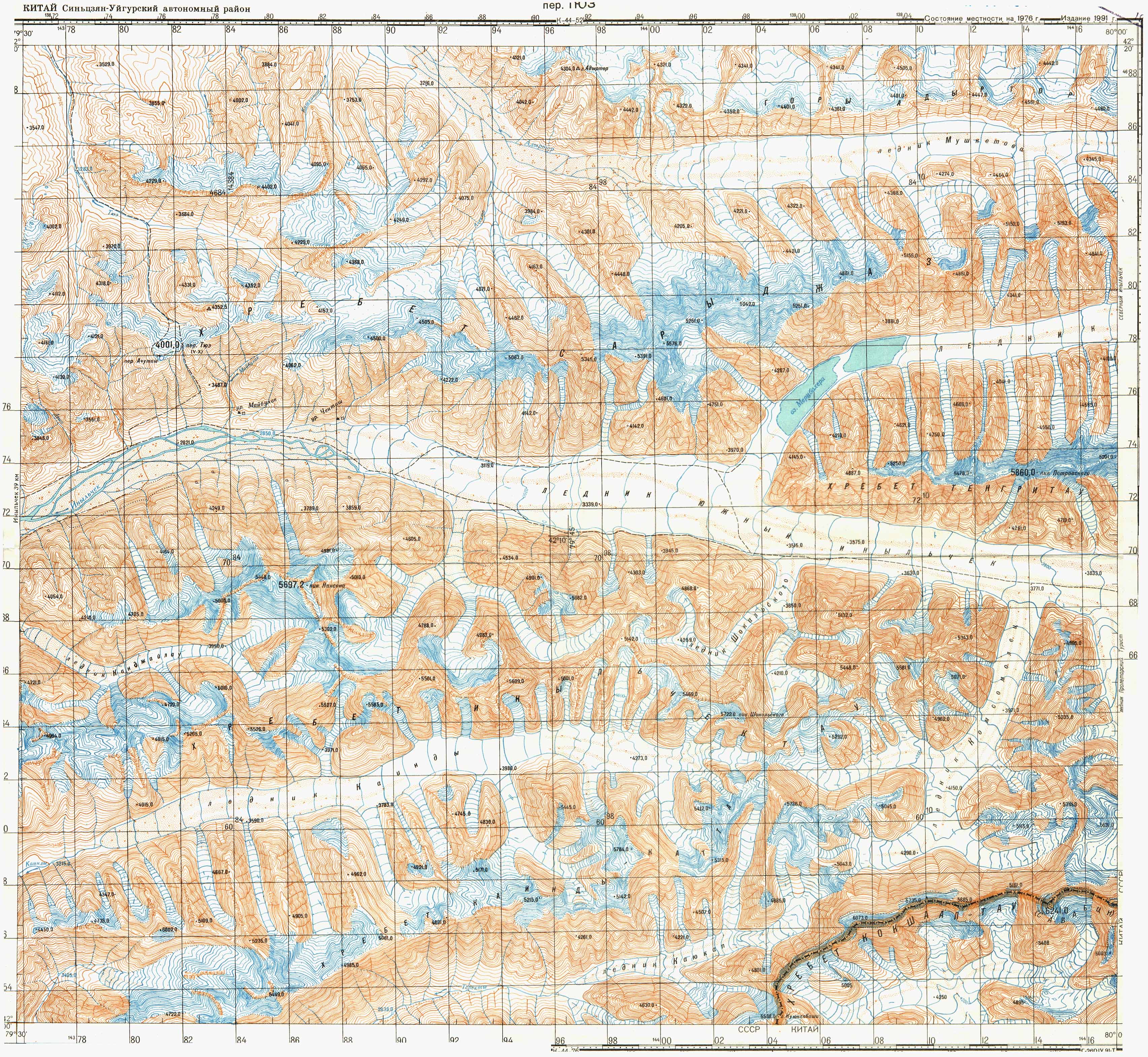
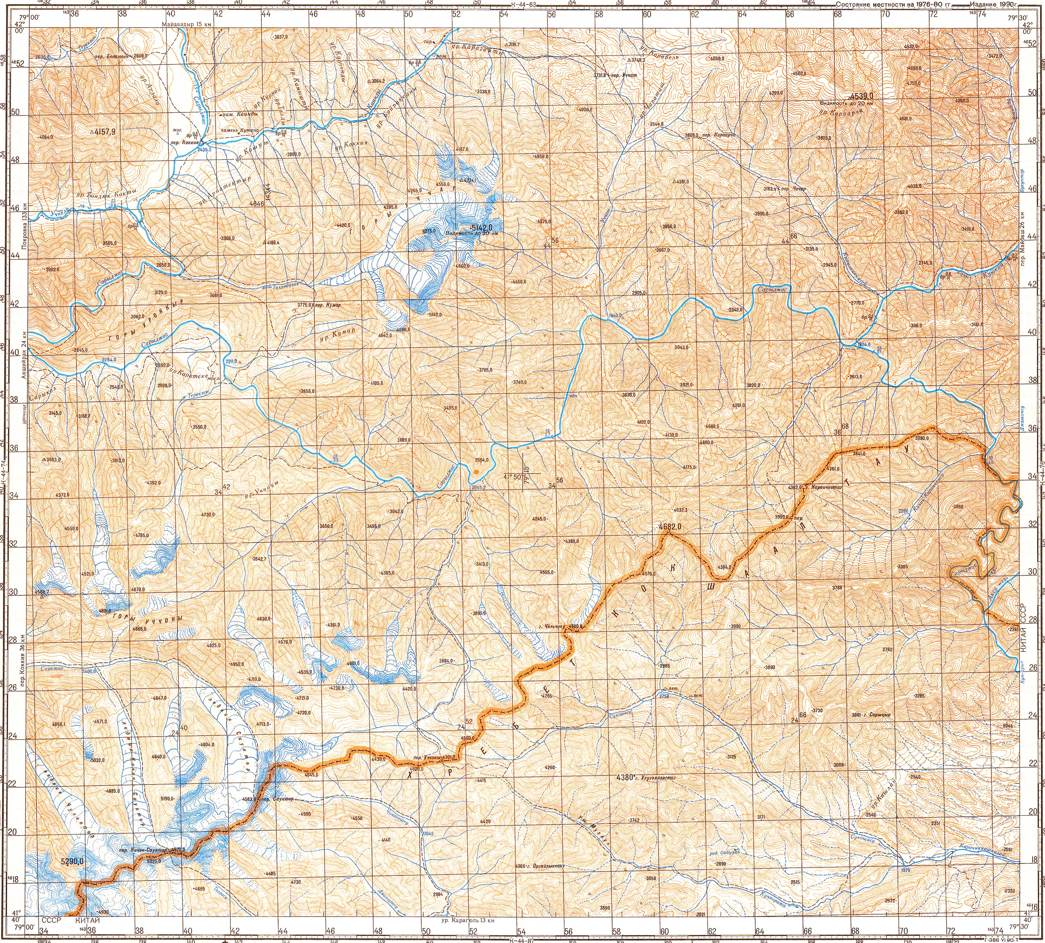
The Kaindy ( Russian Каинды ; kirghiz Кайыңды , Kajyngdy ) is a left tributary of Sarydschas in Issyk Kul Region in Kyrgyzstan ( Central Asia ).
The Kaindy is fed by the Kaindy Glacier , which is located between the Kaindy chain in the south and the Engiltschek chain in the north, and runs in a westerly direction.
Web links
- Sheet 0/14 Inylchek - Tien Shan, Kyrgyzstan , Alpine Club Map 1: 100,000
Individual evidence
- ↑ Map sheet k-44-64 of the Soviet General Staff Map 1: 100,000
- ↑ Map sheet k-44-75 of the Soviet General Staff Map 1: 100,000