Kamjane (Lebedyn)
| Kamjane | ||
| Кам'яне | ||

|
|
|
| Basic data | ||
|---|---|---|
| Oblast : | Sumy Oblast | |
| Rajon : | Lebedyn district | |
| Height : | 126 m | |
| Area : | Information is missing | |
| Residents : | 836 (2001) | |
| Postcodes : | 42233 | |
| Area code : | +380 5445 | |
| Geographic location : | 50 ° 28 ' N , 34 ° 18' E | |
| KOATUU : | 5922984201 | |
| Administrative structure : | 4 villages | |
| Address: | вул. Леніна буд. 41 42233 с. Кам'яне |
|
| Website : | City council website | |
| Statistical information | ||
|
|
||
Kamjane ( Ukrainian Кам'яне ; Russian Каменное Kamennoje ) is a village in the south of the Ukrainian Sumy Oblast with about 800 inhabitants (2001).
The village, first mentioned in writing in 1647, is the administrative center of the district council of the same name in the southwest of Lebedyn Rajon , to which the villages Bobrowe ( Боброве , ⊙ ) with about 150 inhabitants, Selenyj Haj ( Зелений Гай , ⊙ ) with about 60 inhabitants and Chernyshky ( Чернишки , ⊙ ) with about 10 inhabitants.
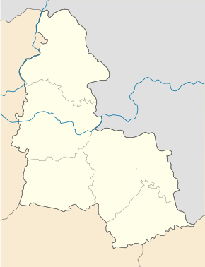
The village is located at an altitude of 126 m on the right bank of the Psel , a 717 km long tributary of the Dnieper , 23 km southwest of Lebedyn district center and 72 km southwest of Sumy oblast center .
Web links
Commons : Kamjane - collection of images, videos and audio files
Individual evidence
- ↑ Local website on the official website of the Verkhovna Rada ; accessed on January 1, 2019 (Ukrainian)
- ^ Local history of Kamjane in the history of the cities and villages of the Ukrainian SSR ; accessed on January 1, 2019 (Ukrainian)
- ^ Website of the district council on the official website of the Verkhovna Rada; accessed on January 1, 2019 (Ukrainian)


