Karas Mountains
| Karas Mountains | ||
|---|---|---|
|
National road B1 and Great Karas Mountains near Narubis between Keetmanshoop and Grünau |
||
| Highest peak | Schroffenstein ( 2202 m ) | |
| location | ǁKaras , Namibia | |
|
|
||
| Coordinates | 27 ° 11 ′ S , 18 ° 44 ′ E | |
| Type | Primeval rock , fold mountains | |
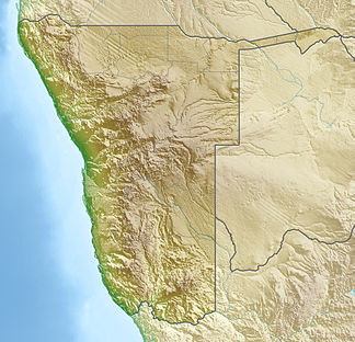
The Karas Mountains are a mountain range in the southeast of Namibia and form an essential topography of the Namibian region of ǁKaras .
The Karas Mountains are divided into the Great Karas Mountains in the east ( Afrikaans : Groot-Karas Mountains ), an approximately 75 km long primeval rock massif that towers over the surrounding mostly flat plateaus by around 900-1000 m and in the Schroffenstein reaches up to 2202 m , and the west Located Small Karas Mountains , a fold mountains up to 1500 meters high . To the north of the Karas Mountains, the Nama Karoo Basin extends to Mariental ; south of the Karas Mountains lies the Gamchab Basin, which extends to South Africa.
The Karas Mountains are sometimes very difficult to access due to deep gorges and precipices; Noteworthy rivers ( Riviere ) which have their source in deep gorges of the Karas Mountains are the Lion River , the Gaab , Hom and the Gamchab . The sunken city of ǁKhauxaǃnas lies on a plateau .
See also
Web links
swell
- ^ Karasberg in Meyers Konversations-Lexikon from 1905

