Keyworth
Coordinates: 52 ° 52 ′ 19 ″ N , 1 ° 5 ′ 24 ″ W.
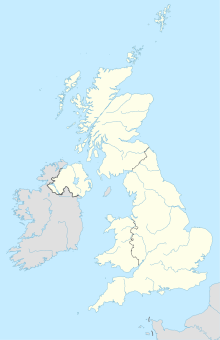
Keyworth is a place and civil parish in the Rushcliffe district , Nottinghamshire , United Kingdom , about eleven kilometers southeast of Nottingham . The civil parish had 6920 inhabitants at the 2001 census. The partner municipality of Keyworths has been the French municipality of Feignies in the Nord department since September 25, 1977 .
history
Keyworth was first mentioned in 1086 as Cauord in the English Domesday Book . Roman archaeological finds indicate, however, that the settlement goes back a lot.
Culture and sights
The parish church of St Mary Magdalene dates back to the 14th century.
Economy and Infrastructure
Keyworth is located between the English A-roads A60 ( Loughborough - Doncaster ) and A606 ( Stamford - West Bridgford ). There is a bus connection to nearby Nottingham.
The South Wolds Community School is located in Keyworth and maintains relationships with the Justinus-Kerner-Gymnasium in the German city of Weinsberg . The headquarters of the British Geological Survey are also located in Keyworth.
Individual evidence
- ^ Parish Headcounts: Keyworth CP . In: Neighborhood Statistics . Office for National Statistics . Retrieved March 10, 2009.


