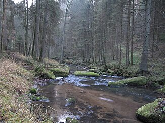
Little mill
| Little mill | ||
|
The small mill in Sarleinsbach |
||
| Data | ||
| location | southern Bohemian Forest and Mühlviertel , Upper Austria | |
| River system | Danube | |
| Drain over | Danube → Black Sea | |
| source | in the Bräuerau near Ulrichsberg and Julbach 48 ° 40 ′ 23 ″ N , 13 ° 50 ′ 10 ″ E |
|
| Source height | approx. 680 m above sea level A. | |
| muzzle | near Kirchberg odD , below the Schlögener loop in the Danube Coordinates: 48 ° 27 '0 " N , 13 ° 55' 12" E 48 ° 27 '0 " N , 13 ° 55' 12" E |
|
| Mouth height | approx. 284 m above sea level A. | |
| Height difference | approx. 396 m | |
| Bottom slope | approx. 12 ‰ | |
| length | 32.5 km | |
| Catchment area | approx. 201 km² | |
| Discharge at the Obermühl A Eo gauge : 200.2 km². Location: 890 m above the mouth |
NNQ (07/12/1976) MNQ 1976–2011 MQ 1976–2011 Mq 1976–2011 MHQ 1976–2011 HHQ (08/12/2002) |
80 l / s 790 l / s 3.31 m³ / s 16.5 l / (s km²) 43.9 m³ / s 89.7 m³ / s |
| Upper Natura 2000 area | ||
The Kleine Mühl is an orographically left tributary of the Danube in the western granite and gneiss highlands in Upper Austria . Together with the Große Mühl and the Steinernen Mühl , it gives the region of Upper Austria, the Mühlviertel , a region north of the Danube, its name .
The Kleine Mühl, whose source is in the Bräuerau (near Ulrichsberg and Julbach ), flows west of the Große Mühl towards the south, until after 32 kilometers it flows into the Danube at Obermühl ( Kirchberg ob der Donau ). The mean flow rate is 3.3 m³ / s.
The upper reaches of the Kleine Mühl are protected by the Natura 2000 area Böhmerwald-Mühltäler .
The Höglmühle in Hühnergeschrei ceased operations in 1949.
Individual evidence
- ↑ Digital Upper Austrian Room Information System (DORIS)
- ↑ Federal Ministry for Agriculture, Forestry, Environment and Water Management (Ed.): Hydrographisches Jahrbuch von Österreich 2011. 119th Volume. Vienna 2013, p. OG 157, PDF (12.9 MB) on bmlrt.gv.at (yearbook 2011)
