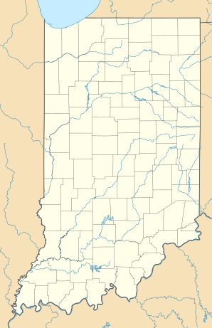
Kouts
| Kouts | ||
|---|---|---|
|
Location in Indiana
|
||
| Basic data | ||
| Foundation : | 1865 | |
| State : | United States | |
| State : | Indiana | |
| County : | Porter County | |
| Coordinates : | 41 ° 19 ′ N , 87 ° 2 ′ W | |
| Time zone : | Central ( UTC − 6 / −5 ) | |
| Residents : | 1,698 (as of: 2000) | |
| Population density : | 585.5 inhabitants per km 2 | |
| Area : | 2.9 km 2 (approx. 1 mi 2 ) of which 2.9 km 2 (approx. 1 mi 2 ) are land |
|
| Height : | 208 m | |
| Postal code : | 46347 | |
| Area code : | +1 219 | |
| FIPS : | 18-40518 | |
| GNIS ID : | 0437448 | |
| Website : | www.kouts.org | |
Kouts is a place in Porter County in the northwest of the US state Indiana , United States with 1,698 inhabitants. The urban area has a size of 2.9 km², the population density is 585.4 / km² (status: 2001).
history
Kouts was founded in 1865 as a settlement for settlers who advanced into this region along the Kankakee River . The place was named after the Barnhardt Kouts family.
