Krajiw
| Krajiw | ||
| Країв | ||

|
|
|
| Basic data | ||
|---|---|---|
| Oblast : | Rivne Oblast | |
| Rajon : | Ostroh district | |
| Height : | 204 m | |
| Area : | 1.735 km² | |
| Residents : | 601 (2001) | |
| Population density : | 346 inhabitants per km² | |
| Postcodes : | 35823 | |
| Area code : | +380 3654 | |
| Geographic location : | 50 ° 28 ' N , 26 ° 29' E | |
| KOATUU : | 5624286403 | |
| Administrative structure : | 1 village | |
| Address: | вул. Шкільна буд. 1 35820 с. Оженин |
|
| Website : | City council website | |
| Statistical information | ||
|
|
||
Krajiw ( Ukrainian Країв ; Russian Краев Krajew , Polish Krajów ) is a village in the south of the Ukrainian Oblast Rivne with about 600 inhabitants (2001).
The village, first mentioned in writing in 1583, was partially destroyed by the Tatars in December 1617 . In 1739 the brick Orthodox Church of the Intercession of the Blessed Virgin was built in the village
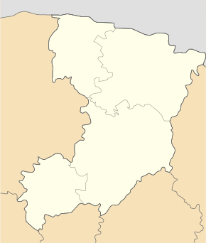
Krajiw belongs administratively to the district municipality of Oschenyn in the north of the Rajon Ostroh . The village is situated at an altitude of 204 m , 3 km north of the community center Oschenyn , 18 km north of the Rajonzentrum Ostroh and 25 km southeast of Oblastzentrum Rivne . To the east of the village, along the banks of the Horyn , the T-18-31 territorial road runs .
Web links
- Krajów . In: Filip Sulimierski, Władysław Walewski (eds.): Słownik geograficzny Królestwa Polskiego i innych krajów słowiańskich . tape 4 : Kęs – Kutno . Walewskiego, Warsaw 1883, p. 585 (Polish, edu.pl ).
Individual evidence
- ↑ Local website on the official website of the Verkhovna Rada ; accessed on June 4, 2020 (Ukrainian)
- ↑ history Krajiw on mistaua.com ; accessed on June 4, 2020 (Ukrainian)


