Lochbergwasen
| Lochbergwasen | |||
|---|---|---|---|
|
Lochbergwasen pass |
|||
| Compass direction | Northeast | southwest | |
| Pass height | 656 m | ||
| state | Baden-Württemberg | ||
| Watershed | Heizelbächle → Rench → Rhine | Lindebach → Harmersbach → Erlenbach → Kinzig → Rhine | |
| Valley locations | Lochberg | Zell am Harmersbach | |
| expansion | Link road L 94 | ||
| Mountains | Black Forest | ||
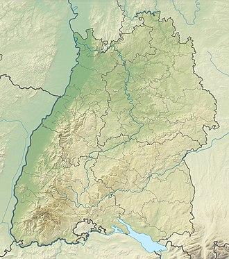
| Map (Baden-Württemberg) | |||
|
|
|||
| Coordinates | 48 ° 25 '11 " N , 8 ° 9' 28" E | ||
A pass height ( 656 m ) in the Black Forest between Lochberg im Renchtal and Zell am Harmersbach is called Lochbergwasen (more rarely: Lochwasen) .
The slightly higher ( 752 m ) alternative route K 5354 branches off about 500 m north of the pass and leads west via Nordrach also to Zell am Harmersbach. Since it almost circles the Schäfersfeld ( 780 m ), this road is sometimes referred to as the Schäfersfeld Pass .
Both roads are paved throughout and almost two lanes have been developed.
Location and surroundings
At the top of the pass there is a parking lot for hikers with a kiosk and a drinking water fountain.
To the west of the pass, between the two streets, are the Lindenbachhöhe ( 788 m ) and the Felsenmeer Heidenkirche , to the east of the Fürstenkopf ( 794 m ).
The Black Forest cross-way from Gengenbach to Alpirsbach crosses the road over the Lochbergwasen.
The Oppenau Ost launch site for paragliders is located on Schäfersfeld .
Web links and sources
- ↑ a b c d map services ( memento of the original dated December 19, 2012 in the Internet Archive ) Info: The archive link was inserted automatically and has not yet been checked. Please check the original and archive link according to the instructions and then remove this notice. of the BfN
- ↑ http://schwarzwaldserver.de/touren/mtb_touren/nordrach_hoehenweg_rund_um_nordrach ( page no longer available , search in web archives ) Info: The link was automatically marked as defective. Please check the link according to the instructions and then remove this notice.
- ^ Bernhard Pollmann: Black Forest North and Middle: 50 selected hikes between Freiburg, Freudenstadt, Karlsruhe and Pforzheim . Bergverlag Rother GmbH, 2007, ISBN 3-7633-4031-9
- ↑ Archived copy ( Memento of the original dated December 15, 2010 in the Internet Archive ) Info: The archive link was inserted automatically and has not yet been checked. Please check the original and archive link according to the instructions and then remove this notice.
- ↑ http://www.oppenauer-gleitschirmflieger.de/


