
Lüsener Villerspitze
| Lüsener Villerspitze | ||
|---|---|---|
 The Lüsener Villerspitze from the northwest |
||
| height | 3027 m above sea level A. | |
| location | Tyrol , Austria | |
| Mountains | Stubai Alps | |
| Dominance | 0.88 km → Hohe Villerspitze | |
| Notch height | 101 m ↓ notch to the Hohe Villerspitze | |
| Coordinates | 47 ° 6 '55 " N , 11 ° 9' 35" E | |
|
||
| rock | Biotite plagioclase gneiss and amphibolite | |
| Age of the rock | Paleozoic | |
| First ascent | C. Wechner, L. Seidler, J. Tragseil, B. Tützscher on July 13, 1879 | |
| Normal way | From the northeast | |

The Lüsener Villerspitze (also Lisenser Villerspitze ) is 3027 m above sea level. A. high mountain in the Stubai Alps.
topography
The Lüsener Villerspitze is located in the southeastern Sellrainer mountains between the Lüsenstal in the west and the furthest Fotscher valley in the east. It is connected to the Hohe Villerspitze , about a kilometer further south, by a sharp rock ridge. To the northeast of the Lüsener Villerspitze is the Hochgraffljoch 2693 m , which separates the Schönlüsenstal in the west from the Inner Bremsstall in the east on the Fotscher side. To the south of the mountain, the Große Horntal runs up to the Großer Horntaler Joch , located south of the Hohe Villerspitze .
ways
The normal route leads a little west of the Hochgraffljoch over a ridge and a small pre-summit to the flat summit structure, which normally requires climbing in the 1st degree of the UIAA scale . This path can be reached from the Lüsenstal through the Schönlüsenstal or from the rear Fotschertal through the Inner Bremsstall. The ridge crossing to the Hohe Villerspitze is more demanding. In winter, the summit is also the destination of demanding ski tours that require safe conditions.
literature
Walter Klier: Stubai Alps alpine. Alpine club guide for high alpine hikers and mountaineers . 13th edition. Bergverlag Rother, Munich 2006, ISBN 3-7633-1271-4 , p. 222 .
Individual evidence
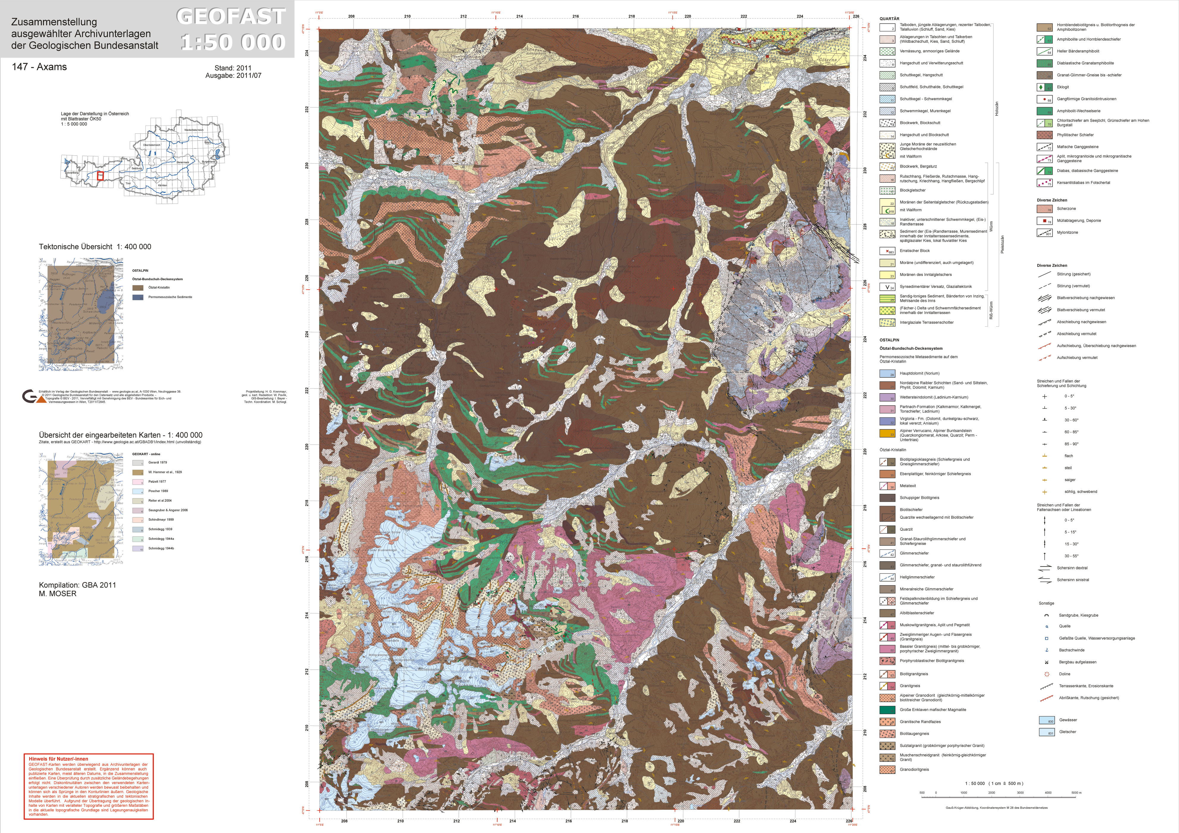
- ↑ Federal Geological Institute, Geofast Map 1: 50,000, sheet 147, Axams