Leibnitz field
Coordinates: 46 ° 48 ' N , 15 ° 35' E
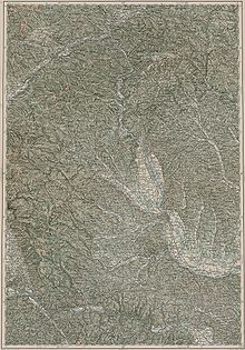
As Leibnitzerfeld is a wide valley in the southern Styria in the lower Mur valley called that between the Wildon Schlossberg in the north and the Austro - Slovenian located state border in the south and the Grazerfeld continues to the south. It is around 275 m above sea level. A. and is a fertile plain that is drained by the Mur, Laßnitz and Sulm and Stiefing . In the southwest it is bounded by a narrow ridge around which the Sulm flows in an arch. The main crops are cereals, wine and fruit. Alluvial forests have been preserved along the rivers. The main town that gives the field its name is the district capital Leibnitz .
The Leibnitzer Feld is a historically old settlement area, as excavations from Roman times ( Flavia Solva ) show. In the necropolis on the Frauenberg, graves from the 2nd third of the 5th century BC were found. Discovered. Five of the more than 400 individuals have deformed skulls , including a 50-year-old man and four children between the ages of two and ten.
literature
- Walter Modrijan: La Tène-period flat graves in the Leibnitzerfeld . In: Schild von Steier 10, 1962, ZDB -ID 203317-3 , pp. 57-64.
Web links
- Entry on Leibnitzer Feld in the Austria Forum (in the AEIOU Austria Lexicon )
- Landscape structure in Styria
- The Leibnitz field

