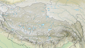
Lhakpa Ri
| Lhakpa Ri | ||
|---|---|---|
| height | 7045 m | |
| location | Tibet ( China ) | |
| Mountains | Mahalangur Himal ( Himalaya ) | |
| Dominance | 2.87 km → Khartaphu | |
| Notch height | 279 m ↓ Lhakpa La (6766 m) | |
| Coordinates | 28 ° 2 '16 " N , 86 ° 58' 11" E | |
|
|
||
| First ascent | 1921 by George Mallory | |
The Lhakpa Ri is a 7045 m (according to other information 7001 m ) high peak in the Himalayas in the Dingri district of the Shigatse administrative district in the Tibet Autonomous Region of the People's Republic of China 7.07 km northeast of Mount Everest .
The Lhakpa Ri is considered to be one of the highest trekking peaks . The Eastern Rongpu Glacier flows on its western flank, the Kharta Glacier is in the northeast and the Kangshung Glacier stretches in the southeast . The Lhakpa La ( 6766 m ) separates the Lhakpa Ri from the northern Khartaphu . The Rapiu La ( 6548 m ) separates it from the northeast shoulder of Mount Everest . In the east the lower Khartse rises at 6507 m .
Ascent history
The first ascent of Lhakpa Ri was made by George Mallory during his exploration expedition in 1921 .
In 1936, Bill Tilman climbed the summit as part of a British exploration expedition.
Today several providers offer trekking tours on the Lhakpa Ri.
