
Los Monjes
| Los Monjes | ||
|---|---|---|
 |
||
| Waters | Caribbean Sea | |
| archipelago | Leeward Islands | |
| Geographical location | 12 ° 26 ′ N , 70 ° 53 ′ W | |
|
||
| Number of islands | 8th | |
| Main island | Monjes del Sur | |
| Total land area | 0.2 km² | |
| Residents | uninhabited | |
 |
||

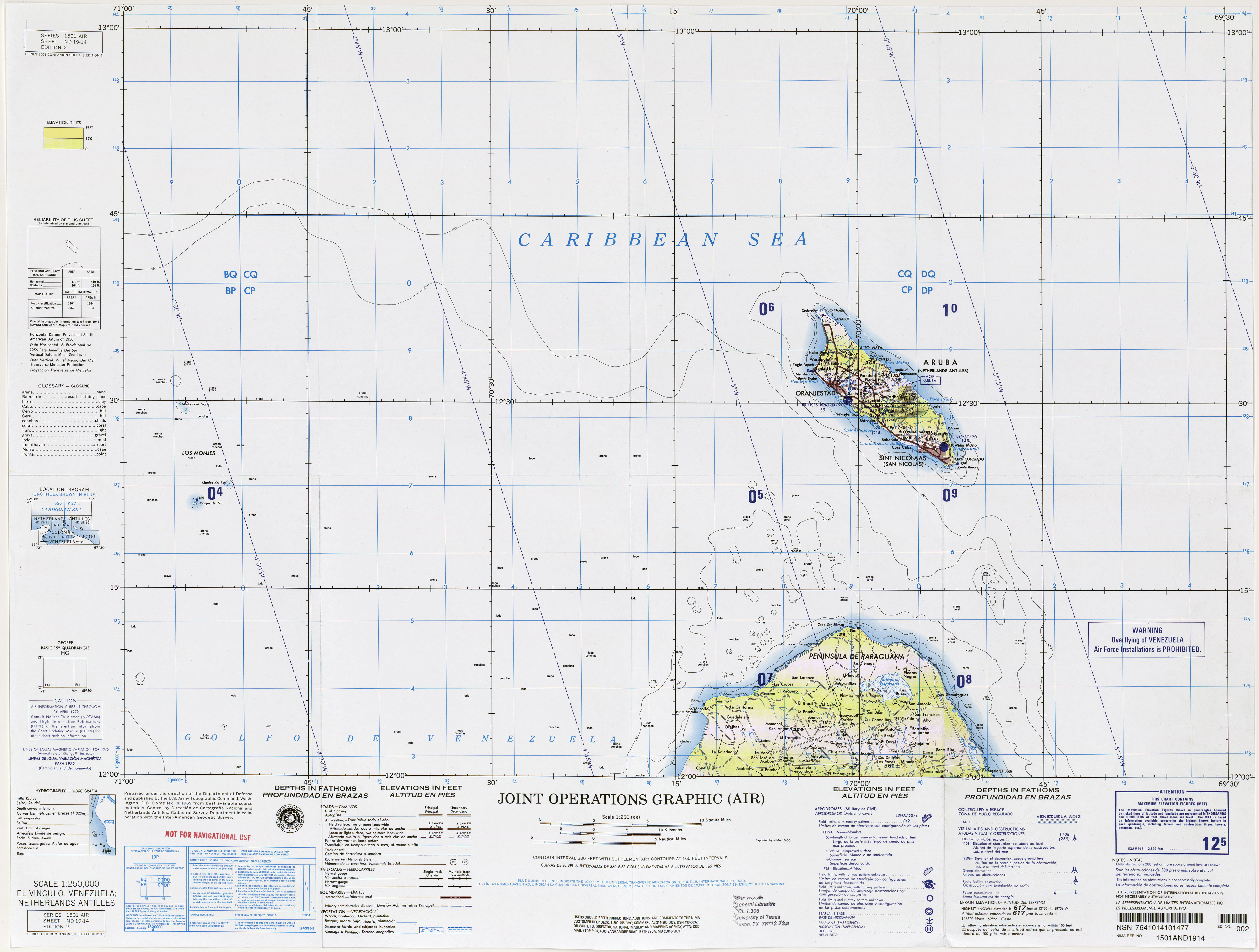
Los Monjes (Spanish Archipiélago Los Monjes , German archipelago "The Monks" ) is a group of small islands in the Gulf of Venezuela , about 35 km north of the Paraguaná peninsula and about 75 km west of Aruba . Administratively, the islands belong to the Venezuelan federal territories .
Los Monjes consists of three groups of barren and steep rocky cliffs, which together have a land area of only 0.2 km²:
- Monjes del Sur (height up to 70 m, at 12 ° 22 ′ N , 70 ° 54 ′ W ), two islands connected with an artificial dam. There is a lighthouse on Monjes del Sur.
- Monje del Este (altitude up to 43 m, at 12 ° 24 ′ N , 70 ° 51 ′ W ), a rocky island, 5.5 km north of Monjes del Sur .
- Monjes del Norte (altitude up to 41 m, at 12 ° 30 ′ N , 70 ° 55 ′ W ), five small rocks, about 12.3 km northwest of Monje del Este .
On Monjes del Sur , the Venezuelan Navy operates a coast guard station ( Estación Secundaria de Guardacostas ) called Capitán de Navío Felipe Batista , which is subordinate to the main station Punto Fijo . Since the islands do not have any natural freshwater sources, they have to be supplied by ship from the mainland.
Web links
- Private page with many pictures of Los Monjes (English)
- 1: 250,000 scale map , with Los Mojes to the west
Individual evidence
- ↑ http://www.osnalu.com.ve/geografia/losmonjes.html (link not available)