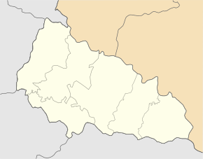
Lyptscha
| Lyptscha | ||
| Липча | ||

|
|
|
| Basic data | ||
|---|---|---|
| Oblast : | Zakarpattia Oblast | |
| Rajon : | Khust district | |
| Height : | 213 m | |
| Area : | Information is missing | |
| Residents : | 3,769 (2004) | |
| Postcodes : | 90415 | |
| Area code : | +380 3142 | |
| Geographic location : | 48 ° 16 ' N , 23 ° 23' E | |
| KOATUU : | 2125385201 | |
| Administrative structure : | 4 villages | |
| Address: | вул. Центральна 35 90415 с. Липча |
|
| Statistical information | ||
|
|
||
Lyptscha ( Ukrainian Липча ; Russian Липча Liptscha , Hungarian Lipcse , Slovak Lipča, Lipša ) is a village in the Ukrainian Transcarpathian Oblast with about 3750 inhabitants (2004).
The Lypowezer See , a natural monument of volcanic origin, lies at 526 m near the village .
The village, first mentioned in writing in 1350, has an area of 7 km² and is the administrative center of the 34 km² district council of the same name in Khust district with about 4600 inhabitants, to which the villages Krajnje ( Крайнє ⊙ ) with about 270 inhabitants, Krywyj ( Кривий ⊙ ) with about 150 inhabitants and Ossawa ( Осава ⊙ ) with about 320 inhabitants.
Geographical location
Lypcha is at 213 m height on the banks of Rika and the territorial road T-07-12 close to the regional road P-21 . The Khust district center is 14 km southwest and the Uzhhorod oblast center is 120 km northwest of the village.
Individual evidence
- ^ Village website on the Verkhovna Rada official website ; accessed on May 1, 2017 (Ukrainian)
- ^ Entry on the village in the Encyclopedia of Modern Ukraine ; accessed on May 1, 2017 (Ukrainian)
- ^ Website of the district council on the official website of the Verkhovna Rada ; accessed on May 1, 2017 (Ukrainian)

