Macusani
| Macusani | |||
|---|---|---|---|
|
|
|||
| Coordinates | 14 ° 4 ′ S , 70 ° 26 ′ W | ||
| Symbols | |||
|
|||
| Basic data | |||
| Country | Peru | ||
| Puno | |||
| province | Carabaya | ||
| ISO 3166-2 | PE-PUN | ||
| District | Macusani | ||
| height | 4315 m | ||
| Residents | 10,408 (2017) | ||
| Website | www.municarabaya.gob.pe/portal/ (Spanish) | ||
| politics | |||
| mayor | Fabio Vargas Huamantuco (2019-2022) |
||
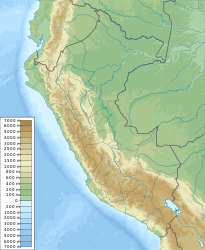
Macusani is the capital of the Carabaya Province in the Puno region in southern Peru . Macusani is located in the district of the same name . The city had 10,408 inhabitants at the 2017 census. Ten years earlier the population was 8,645.
Geographical location
The city of Macusani is located in the Cordillera Carabaya , a mountain range of the Peruvian Eastern Cordillera . It is located on the upper reaches of the Río San Gabán at an altitude of 4315 m .
Individual evidence
- ↑ a b PERU: Region Puno - Provinces & Places . www.citypopulation.de. Accessed December 30, 2019.


