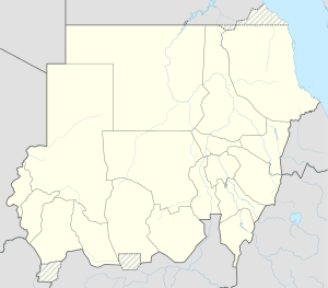
Marra
| Marra | ||
|---|---|---|
| height | 3042 m | |
| location | in western Sudan | |
| Mountains | Marra plateau | |
| Coordinates | 12 ° 56 '23 " N , 24 ° 14' 8" E | |
|
|
||
| Type | Volcanic field | |
| Age of the rock | 2000 BC Chr. | |
| First ascent | unknown | |
|
One of the two Deriba lakes in the center of the volcanic mountain. Photo from 1986. |
||
The Marra ( Arabic جبل مرة Jebel Marra ; also Jebel Marra ) is a 3,042 m high volcano on the Marra Plateau in western Sudan . It is the highest mountain in the country.
It is located in the states of Shamal Darfur and Dschanub Darfur between the city of al-Fashir and the border with Chad . In the Darfur conflict , it is a retreat for rebels and a refuge for war displaced persons.
The surrounding Marra plateau is a stone desert ( Hammada ). The two Deriba lakes are located inside the five-kilometer-wide, 4000-year-old Deriba caldera .
The Marra Plateau has an area of 1500 km² and is 1500 to 3042 m (crater rim of the Marra) above sea level .
See also
literature
- Sabine Miehe: Vegetation ecology of the Jebel Marra Massif in the semiarid Sudan. Cramer, Berlin 1988. ISBN 3-443-64025-7
Web links
Marra in the Global Volcanism Program of the Smithsonian Institution (English)
Individual evidence
- ↑ peakbagger.com
- ↑ Donminic Johnson: New fighting and displacement. In: the daily newspaper . February 7, 2011, accessed February 8, 2011 .


