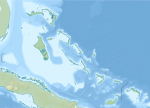
Mayaguana
| Mayaguana | ||
|---|---|---|
| Waters | Atlantic Ocean | |
| Archipelago | Bahamas | |
| Geographical location | 22 ° 23 ′ N , 72 ° 54 ′ W | |
|
|
||
| length | 44.2 km | |
| width | 11.8 km | |
| surface | 280 km² | |
| Highest elevation | Abraham Bay Hill (Center Hill) 40 m |
|
| Residents | 271 (2010) <1 inh / km² |
|
| main place | Abraham's Bay | |
Mayaguana is the easternmost island in the Bahamas and one of only two islands that have retained their original Arawak name.
The largest settlement is Abraham's Bay on the south coast, other settlements are Betsy Bay in the east and Pirate's Well in the north.
There was no great economic development in Mayaguana, the island was settled by residents of the Turks and Caicos Islands around 1812 . The Mayaguana population was 259 at the 2000 census; in 2010 it was 271.
The Brazilian historian Antonio Varnhagen suggested in 1824 that Mayaguana is Guanahani , the first island visited by Christopher Columbus when he discovered America. However, this theory found few supporters.
