Samana Cay
| Samana Cay | ||
|---|---|---|
| Landsat image by Samana Cay. In the east is White Cay. | ||
| Waters | Atlantic Ocean | |
| Archipelago | Bahamas | |
| Geographical location | 23 ° 6 ′ N , 73 ° 44 ′ W | |
|
|
||
| length | 16.2 km | |
| width | 3.5 km | |
| surface | 45 km² | |
| Residents | uninhabited | |
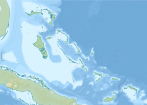
| Map of Samana Cay | ||
Samana Cay is an island in the Atlantic Ocean belonging to the eastern Bahamas . It is about 16 kilometers long and up to three kilometers wide. In 1986 the National Geographic Society drew attention to the largest uninhabited island in the Bahamas with the thesis that Christopher Columbus first set foot on the soil of the New World on October 12, 1492 here and not on what is now known as the island of San Salvador . However, this thesis was rejected after computer-aided models, taking into account the ocean currents, resulted in a landing position 24 km south of San Salvador.
Cayo Samaná was continuously inhabited in the first half of the 20th century. The ruins of this settlement are still visible on part of the island (at the western end of the island). The island is now uninhabited, but is occasionally visited by residents of the neighboring island of Acklins to collect the bark of the cascarilla tree , which is used to make the Italian liqueur Campari .
See also: Guanahani
Individual evidence
- ^ John Noble Wilford, Special To The New York Times: COLUMBUS LANDED SOMEWHERE ELSE, MAYBE . In: The New York Times . October 9, 1986, ISSN 0362-4331 ( nytimes.com [accessed September 23, 2016]).


