Moraine Strait
| Moraine Strait | ||
|---|---|---|
| Connects waters | McMurdo Ice Shelf | |
| with water | McMurdo Ice Shelf | |
| Separates land mass | Scott Coast , Victoria Land | |
| of land mass | Black Island | |
| Data | ||
| Geographical location | 78 ° 12 ′ 0 ″ S , 165 ° 48 ′ 0 ″ E | |
|
|
||
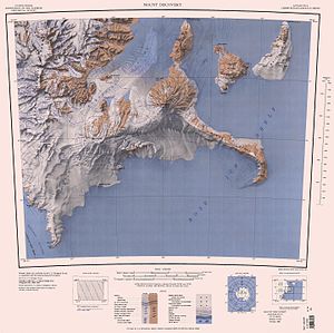
| Map with the unnamed Moraine Strait west of Black Island (above) | ||
The Moraine Strait (English for Moränenstraße is) is a north to south and extending through the McMurdo ice shelf occupied strait before Scott coast of the east Antarctic Victoria Land . It separates the eastern Black Island in the Ross Archipelago from the Brown Peninsula , Mount Discovery and Minna Bluff in the west.
Participants in the Discovery Expedition (1901-1904), led by British polar explorer Robert Falcon Scott, discovered them. The Advisory Committee on Antarctic Names named it in 1999. It is named after the broad moraine belts that run on the ice in the strait.
Web links
- Moraine Strait in the Geographic Names Information System of the United States Geological Survey (English)
- Moraine Strait on geographic.org (English)

