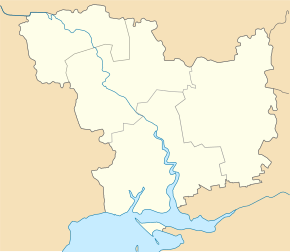
Mycolo Hulak
| Mycolo Hulak | ||
| Миколо-Гулак | ||

|
|
|
| Basic data | ||
|---|---|---|
| Oblast : | Mykolaiv Oblast | |
| Rajon : | Kazanka District | |
| Height : | 134 m | |
| Area : | 1.288 km² | |
| Residents : | 772 (2004) | |
| Population density : | 599 inhabitants per km² | |
| Postcodes : | 56023 | |
| Area code : | +380 5164 | |
| Geographic location : | 47 ° 56 ' N , 32 ° 54' E | |
| KOATUU : | 4823684201 | |
| Administrative structure : | 5 villages | |
| Address: | вул. Лікарняна 1 56023 с. Миколо-Гулак |
|
| Statistical information | ||
|
|
||
Mykolo-Hulak ( Ukrainian Миколо-Гулак ; Russian Николо-Гулак Nikolo-Gulak ) is a village in the northeast of the Ukrainian Mykolaiv Oblast with about 770 inhabitants (2004).
The village, founded in 1865, is the administrative center of the district council of the same name in the north of Kazanka Rajon .
Mykolo-Hulak is located 18 km north of the Rajon capital Kazanka and about 150 km northeast of the Oblast center Mykolaiv . The town of Kryvyi Rih is about 60 km east of the village. The Kryvyi Rih – Dolynska railway runs north of Mykolo-Hulak .
In addition to Mykolo-Hulak, the district council also includes the following villages:
- Werbowe ( Вербове ⊙ ) with about 80 inhabitants
- Tarasivka ( Тарасівка ⊙ ) with about 50 inhabitants
- Ternowe ( Тернове ⊙ ) with about 60 inhabitants
- Utischn ( Утішне ⊙ ) with about 75 inhabitants
Individual evidence
- ^ Website of the village on the official website of the Verkhovna Rada , accessed on June 28, 2015

