Pyrenees National Park
| Pyrenees National Park | ||
|---|---|---|
|
|
||
| Location: | Hautes-Pyrénées , France | |
| Next city: | Tarbes | |
| Surface: | 45,705 ha | |
| Founding: | March 23, 1967 | |
| Address: |
Website of the National Park 2 rue du IV septembre BP 736 F − 65007 Tarbes |
|
| The Pic du Midi d'Ossau | ||
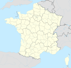
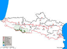
Established in 1967 , the Pyrenees National Park is a French national park on the north side of the Pyrenees . It stretches almost 100 km along the French-Spanish border and is a maximum of 15 km wide. With an area of 457 km², it is the largest of the three national parks in the Pyrenees. Its territory extends from the mountains south of Lescun in the Valleé d'Aspe in the west to the Valleé d'Aure in the east. The most famous points of the park include the Cirque de Gavarnie and the Vignemale massif , the highest point in the French Pyrenees. On part of its elongated southern border, the Pyrenees National Park borders the Spanish Ordesa y Monte Perdido National Park .
The following rules apply in the national parks:
- Fauna and flora are to be protected.
- With a few exceptions, motor vehicles are not permitted.
- Bringing dogs is not allowed.
- Camping is forbidden; it is tolerated as a bivouac for one night; the tent must be at least an hour's walk from the next street.
- Open fire is not allowed.
- Garbage must be taken with you.
- Hunting is prohibited.
See also
Web links
Commons : Pyrenees National Park - Collection of images, videos and audio files


